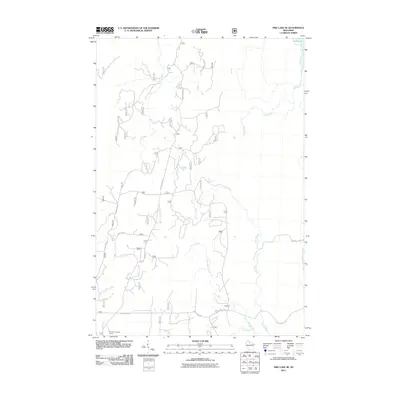
2011 Map of Pike Lake SE
USGS Topo · Published 2011About this map
Elk River Lookout Tower stands as a focal point in the southwestern corner of this northern Wisconsin landscape, overlooking a dense network of forest service roads and water systems. The terrain is defined by the complex drainage of the Willow River and its major tributary, Little Willow Creek, which wind through the southeastern section of the quadrangle. In the north, Squaw Lake feeds into Squaw Creek, while the central region is marked by the presence of Simerson Creek and Foulds Creek. The road network is primarily composed of forestry routes like Forest Rd 466 and Forest Rd 517, supporting the region's long-standing connection to the timber industry and land management. Long-established arteries such as Sheep Ranch Rd and Price County Rd provide the primary access through this heavily wooded area.
Find a feature on this map
17 named features on this map. Tap any name to fly to it.
Don’t see what you’re looking for? This feature index may not catch every label — zoom into the map to look around manually.
Map Details
Editions of this 2011 Pike Lake SE Map
This is the sole edition of this map. No revisions or reprints were ever made.
Other maps of this area

1938 · Lac Du Flambeau
USGS Topo · 1:48,000

1939 · Lac Du Flambeau
USGS Topo · 1:48,000

1939 · Mc Cord
USGS Topo · 1:48,000

1941 · Pike Lake
USGS Topo · 1:48,000

1941 · Brantwood
USGS Topo · 1:48,000

1942 · Pike Lake
USGS Topo · 1:48,000

1943 · Brantwood
USGS Topo · 1:48,000

1946 · Lac Du Flambeau
USGS Topo · 1:48,000

1947 · Mc Cord
USGS Topo · 1:48,000

1950 · Pike Lake
USGS Topo · 1:48,000