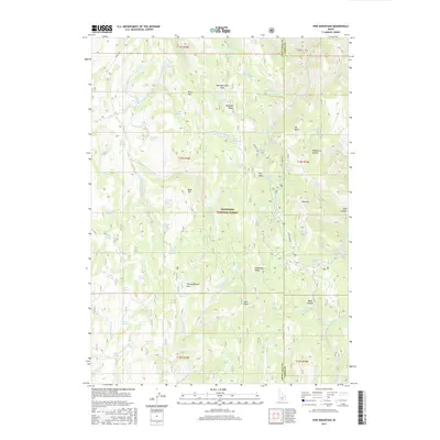
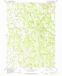
2017 Map of Pike Mountain
USGS Topo · Published 2017About this map
Sawtooth National Forest dominates this high-altitude landscape along the border of Twin Falls and Cassia Counties. The terrain is defined by a series of prominent peaks and ridges, including Mountain View Peak, Black Mtn, and Pike Mtn, which serve as the headwaters for numerous drainage systems. The hydrography here is particularly intricate, featuring a dense network of seasonal and perennial sources such as Electric Spring, Lava Spring, and Shoshone Spring that feed into Shoshone Cr and its various forks. The absence of established towns highlights the area's use as managed forest land and range, with geographic landmarks like Buckskin Ridge and Thoroughbred Flat providing the primary points of orientation. Travel through these elevations is anchored by Rock Creek Rd, which winds through the eastern portion near Wahlstrom Hollow, while the western sections remain characterized by remote gulches and flats.
Find a feature on this map
86 named features on this map. Tap any name to fly to it.
Don’t see what you’re looking for? This feature index may not catch every label — zoom into the map to look around manually.
Map Details
Editions of this 2017 Pike Mountain Map
This is the sole edition of this map. No revisions or reprints were ever made.
Other maps of this area

1955 · Twin Falls
USGS Topo · 1:250,000

1958 · Twin Falls
USGS Topo · 1:250,000
1965 · Rams Horn Ridge
USGS Topo · 1:24,000
1965 · Grand View Peak
USGS Topo · 1:24,000
1965 · Mc Mullen Basin
USGS Topo · 1:24,000
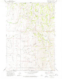
1977 · Timber Butte
USGS Topo · 1:24,000
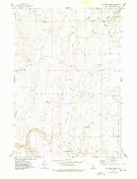
1977 · Big Creek Ranch
USGS Topo · 1:24,000
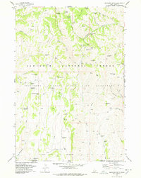
1977 · Mahogany Butte
USGS Topo · 1:24,000
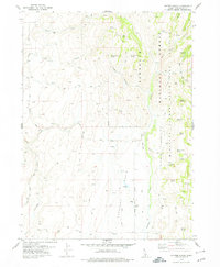
1978 · Hopper Gulch
USGS Topo · 1:24,000
1978 · Pike Mountain
USGS Topo · 1:24,000