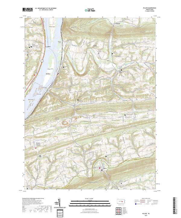
2023 Map of Pillow
USGS Topo · Published 2023About this map
The Susquehanna River defines the western edge of this landscape, its broad waters dotted by Hoover Island, Bowers Island, and Carls Island. This corridor has long shaped the development of communities like Herndon, where the S Susquehanna Trl runs parallel to the riverbanks. The interior is characterized by the alternating ridges and valleys typical of central Pennsylvania, notably Hooflander Mountain and Mahantango Mountain. Small rural centers such as Red Cross, Mandata, and Pillow are connected by a network of winding roads like State Rte 3016.
Find a feature on this map
67 named features on this map. Tap any name to fly to it.
Don’t see what you’re looking for? This feature index may not catch every label — zoom into the map to look around manually.
Map Details
Editions of this 2023 Pillow Map
This is the sole edition of this map. No revisions or reprints were ever made.
Other maps of this area

1892 · Lykens
USGS Topo · 1:62,500

1892 · Shamokin
USGS Topo · 1:62,500

1893 · Sunbury
USGS Topo · 1:62,500

1893 · Lykens
USGS Topo · 1:62,500

1893 · Shamokin
USGS Topo · 1:62,500

1893 · Millersburg
USGS Topo · 1:62,500

1943 · Millersburg
USGS Topo · 1:62,500

1943 · Lykens
USGS Topo · 1:62,500

1943 · Shamokin
USGS Topo · 1:62,500

1943 · Sunbury
USGS Topo · 1:62,500