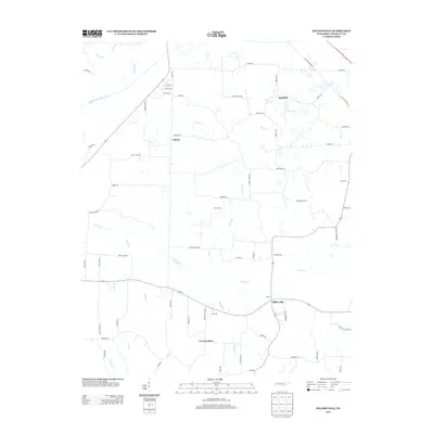
2013 Map of Pillowville
USGS Topo · Published 2013About this map
The Middle Fork Obion River defines the northern reaches of this Weakley County landscape, where a dense network of creek branches like Nailing Br and Terrell Br feed into the river's floodplain. This early 21st-century survey documents the rural character of the region, anchored by small crossroads and legacy settlements. The community of Pillowville sits at a prominent junction in the southeast, while Sandhill and Liberty represent the persistent agricultural clusters that have long defined this part of Tennessee.
Find a feature on this map
70 named features on this map. Tap any name to fly to it.
Don’t see what you’re looking for? This feature index may not catch every label — zoom into the map to look around manually.
Map Details
Editions of this 2013 Pillowville Map
This is the sole edition of this map. No revisions or reprints were ever made.
Other maps of this area

1950 · Martin
USGS Topo · 1:24,000

1952 · Dresden
USGS Topo · 1:24,000

1954 · Greenfield
USGS Topo · 1:24,000

1954 · Bradford
USGS Topo · 1:24,000

1956 · Dyersburg
USGS Topo · 1:250,000

1957 · Como
USGS Topo · 1:24,000

1966 · Trezevant West
USGS Topo · 1:24,000

1967 · Pillowville
USGS Topo · 1:24,000
1967 · Trezevant East
USGS Topo · 1:24,000
1967 · Mc Kenzie
USGS Topo · 1:24,000