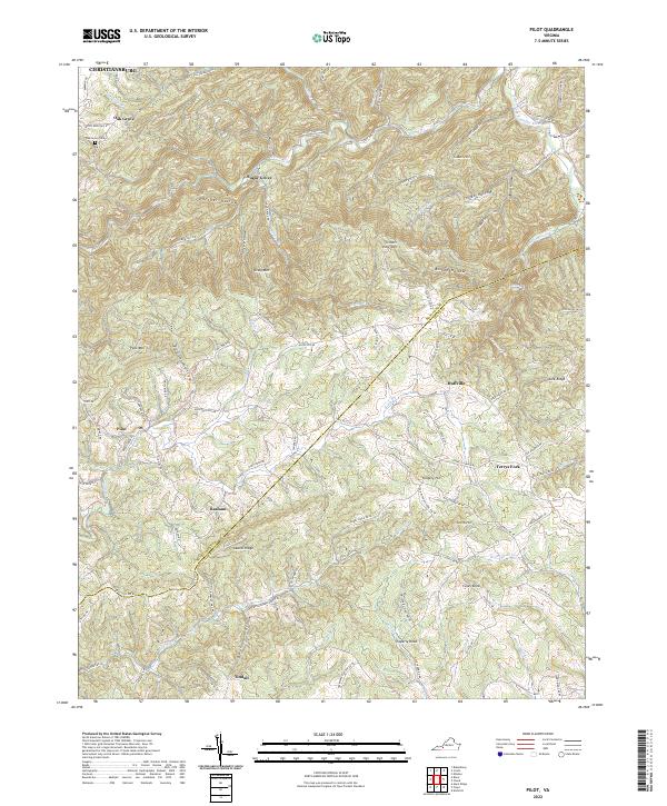
2022 Map of Pilot
USGS Topo · Published 2022About this map
Pilot Mtn and Laurel Ridge dominate the landscape of the Blue Ridge Mountains south of Christiansburg, where the border between Montgomery and Floyd counties follows the high ridgelines. The terrain is deeply incised by drainages such as Elliott Creek and the South Fork Roanoke River, creating a network of hollows like Panther Hollow and Texas Hollow that have historically shaped local settlement patterns. Small communities and named crossroads are scattered throughout the valleys, including Oak Grove, Sugar Grove, and Huffville. Near the Oak Grove Cemetery, the map reveals how mountain roads like Craigs Mountain Road and Elliott Creek Road navigate the complex topography. The presence of numerous named peaks such as Fishers View Mountain and Epperly Knob highlights the prominence of this area's high-elevation geography within the Virginia highlands.
Find a feature on this map
101 named features on this map. Tap any name to fly to it.
Don’t see what you’re looking for? This feature index may not catch every label — zoom into the map to look around manually.
Map Details
Editions of this 2022 Pilot Map
This is the sole edition of this map. No revisions or reprints were ever made.
Other maps of this area

1890 · Christiansburg
USGS Topo · 1:125,000

1932 · Blacksburg
USGS Topo · 1:48,000

1937 · Blacksburg
USGS Topo · 1:62,500

1950 · Elliston
USGS Topo · 1:62,500

1953 · Winston-Salem
USGS Topo · 1:250,000

1955 · Bluefield
USGS Topo · 1:250,000

1955 · Winston-Salem
USGS Topo · 1:250,000

1957 · Endicott
USGS Topo · 1:62,500

1957 · Floyd
USGS Topo · 1:62,500

1957 · Bluefield
USGS Topo · 1:250,000