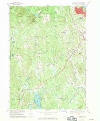
1968 Map of Pinardville
USGS Topo · Published 1971About this map
St Anselms College and the surrounding urbanized Pinardville area anchor the northeastern corner of this landscape, where the Piscataquog River flows toward the F E Everett Turnpike. The terrain transitions from these developed spaces into the heavily ridged highlands of the Uncanoonuc Mountains, featuring North Mountain and South Mountain, the latter topped by a Lookout Tower and Radio Towers. These peaks overlook a network of smaller rural communities and family-named landmarks that define central Hillsborough County.
Find a feature on this map
88 named features on this map. Tap any name to fly to it.
Don’t see what you’re looking for? This feature index may not catch every label — zoom into the map to look around manually.
Map Details
Editions of this 1968 Pinardville Map
3 editions found
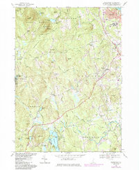
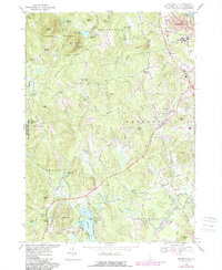
Other maps of this area

1905 · Manchester
USGS Topo · 1:62,500

1906 · Milford
USGS Topo · 1:62,500

1921 · Suncook
USGS Topo · 1:62,500

1927 · Concord
USGS Topo · 1:62,500

1941 · Manchester
USGS Topo · 1:62,500

1943 · Lowell
USGS Topo · 1:125,000

1943 · Fitchburg
USGS Topo · 1:125,000

1944 · Suncook
USGS Topo · 1:62,500

1948 · Boston
USGS Topo · 1:250,000

1949 · Portland
USGS Topo · 1:250,000