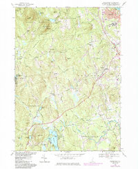
1968 Map of Pinardville
USGS Topo · Published 1985About this map
The St Anselms College campus and the village of Pinardville occupy the northeastern corner of this terrain, overlooking the Piscataquog River. To the west, the Uncanoonuc Mountains rise sharply, dotted with infrastructure like Radio Towers and a Lookout Tower near South Mountain. This landscape is marked by a mix of early educational history and mid-century technological development, exemplified by the presence of the Satellite Tracking Annex west of Bedford.
Find a feature on this map
92 named features on this map. Tap any name to fly to it.
Don’t see what you’re looking for? This feature index may not catch every label — zoom into the map to look around manually.
Map Details
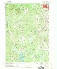
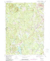
Editions of this 1968 Pinardville Map
3 editions found
Other maps of this area

1905 · Manchester
USGS Topo · 1:62,500

1906 · Milford
USGS Topo · 1:62,500

1921 · Suncook
USGS Topo · 1:62,500

1927 · Concord
USGS Topo · 1:62,500

1941 · Manchester
USGS Topo · 1:62,500

1943 · Lowell
USGS Topo · 1:125,000

1943 · Fitchburg
USGS Topo · 1:125,000

1944 · Suncook
USGS Topo · 1:62,500

1948 · Boston
USGS Topo · 1:250,000

1949 · Portland
USGS Topo · 1:250,000