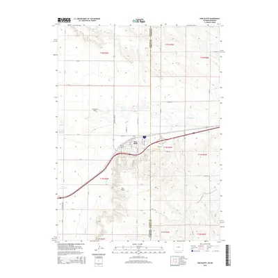
2015 Map of Pine Bluffs
USGS Topo · Published 2015About this map
The town of Pine Bluffs serves as a vital tri-state gateway at the Wyoming and Nebraska border, shaped significantly by the path of the Union Pacific Railroad. This 2015 survey reveals how the local geography is defined by the intersection of high plains agriculture and critical transportation corridors. The landscape is carved by several watercourses including Lodgepole Cr, Spring Cr, and Muddy Cr, which flow toward the Nebraska line. The presence of Wisroth Reservoir and Chivington Draw illustrates the management of water in this semi-arid environment, while the grid of rural roads like State Line Rd and Pine Bluff-Albin Rd connects the scattered homesteads and industrial areas to the central settlement.
Find a feature on this map
46 named features on this map. Tap any name to fly to it.
Don’t see what you’re looking for? This feature index may not catch every label — zoom into the map to look around manually.
Map Details
Editions of this 2015 Pine Bluffs Map
This is the sole edition of this map. No revisions or reprints were ever made.
Other maps of this area

1954 · Scottsbluff
USGS Topo · 1:250,000

1954 · Cheyenne
USGS Topo · 1:250,000

1958 · Cheyenne
USGS Topo · 1:250,000

1958 · Scottsbluff
USGS Topo · 1:250,000

1963 · Pine Bluffs
USGS Topo · 1:24,000

1963 · Lindbergh
USGS Topo · 1:24,000

1963 · Pine Bluffs SE
USGS Topo · 1:24,000

1963 · Pine Bluffs SW
USGS Topo · 1:24,000

1963 · Tracy
USGS Topo · 1:24,000

1968 · Pine Bluffs
USGS Topo · 1:24,000