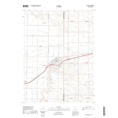
2017 Map of Pine Bluffs
USGS Topo · Published 2017About this map
Pine Bluffs serves as a prominent high-plains crossroads at the edge of the Wyoming-Nebraska border, where the distinct topography of Chivington Draw meets the valley of Lodgepole Cr. This 2017 survey details the town's grid, including neighborhood streets like Pine St and Walnut Ave, as well as the nearby Pine Bluffs Cem. The landscape is defined by its water management and transportation history, featuring the Wisroth Reservoir and the drainage patterns of Muddy Cr and Spring Cr. The transition from the historic Old Hwy to modern infrastructure is evident, with the Pine Bluffs Municipal Airport providing an aerial gateway to the Laramie County panhandle. The map illustrates a community anchored by its geography, positioned where the high plains begin their descent across the state line.
Find a feature on this map
52 named features on this map. Tap any name to fly to it.
Don’t see what you’re looking for? This feature index may not catch every label — zoom into the map to look around manually.
Map Details
Editions of this 2017 Pine Bluffs Map
This is the sole edition of this map. No revisions or reprints were ever made.
Other maps of this area

1954 · Scottsbluff
USGS Topo · 1:250,000

1954 · Cheyenne
USGS Topo · 1:250,000

1958 · Cheyenne
USGS Topo · 1:250,000

1958 · Scottsbluff
USGS Topo · 1:250,000

1963 · Pine Bluffs
USGS Topo · 1:24,000

1963 · Lindbergh
USGS Topo · 1:24,000

1963 · Pine Bluffs SE
USGS Topo · 1:24,000

1963 · Pine Bluffs SW
USGS Topo · 1:24,000

1963 · Tracy
USGS Topo · 1:24,000

1968 · Pine Bluffs
USGS Topo · 1:24,000