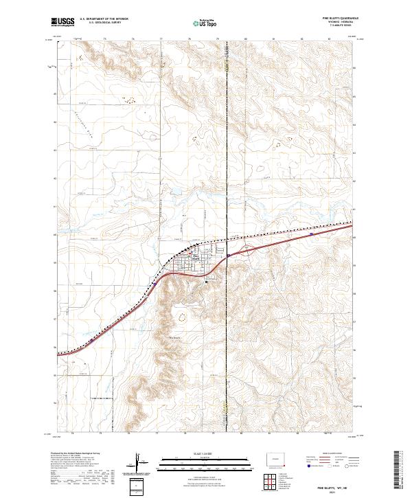
2021 Map of Pine Bluffs
USGS Topo · Published 2021About this map
Pine Bluffs serves as a vital cross-border hub where the high plains of Wyoming meet the Nebraska state line. The town's grid is defined by the heavy infrastructure of the U P RR Rd, reflecting the historical importance of the railroad to this agricultural and transportation corridor. Residential streets like Elm St and Maple St cluster north of the tracks, while the local geography is carved by the winding course of Lodgepole Cr and its tributaries, Spring Cr and Muddy Cr. To the south, the Pine Bluffs Cem rests near the edge of the bluffs that give the town its name.
Find a feature on this map
55 named features on this map. Tap any name to fly to it.
Don’t see what you’re looking for? This feature index may not catch every label — zoom into the map to look around manually.
Map Details
Editions of this 2021 Pine Bluffs Map
This is the sole edition of this map. No revisions or reprints were ever made.
Other maps of this area

1954 · Scottsbluff
USGS Topo · 1:250,000

1954 · Cheyenne
USGS Topo · 1:250,000

1958 · Cheyenne
USGS Topo · 1:250,000

1958 · Scottsbluff
USGS Topo · 1:250,000

1963 · Pine Bluffs
USGS Topo · 1:24,000

1963 · Lindbergh
USGS Topo · 1:24,000

1963 · Pine Bluffs SE
USGS Topo · 1:24,000

1963 · Pine Bluffs SW
USGS Topo · 1:24,000

1963 · Tracy
USGS Topo · 1:24,000

1968 · Pine Bluffs
USGS Topo · 1:24,000