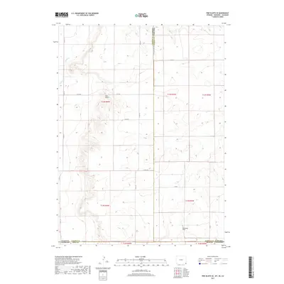
2017 Map of Pine Bluffs SE
USGS Topo · Published 2017About this map
Panorama Point stands as a prominent topographical feature in this high-plains landscape where three states converge. Located in the southeastern corner of the map, this high ground overlooks a complex drainage system defined by Muddy Cr and Spring Cr. The terrain is characterized by the escarpments of the Pine Bluffs, which create distinct elevation changes across the otherwise open prairie. This 2017 survey details the intersection of Weld County, Colorado, with the borders of Wyoming and Nebraska, reflecting the enduring legacy of the Public Land Survey System through its grid of rural roads and section lines. Notable thoroughfares like Co RD 161 and Co RD 206 provide the primary infrastructure for this ranching and agricultural region, following the natural contours of the draws and ridges that define this tri-state boundary area.
Find a feature on this map
21 named features on this map. Tap any name to fly to it.
Don’t see what you’re looking for? This feature index may not catch every label — zoom into the map to look around manually.
Map Details
Editions of this 2017 Pine Bluffs SE Map
This is the sole edition of this map. No revisions or reprints were ever made.
Other maps of this area

1954 · Sterling
USGS Topo · 1:250,000

1954 · Scottsbluff
USGS Topo · 1:250,000

1954 · Cheyenne
USGS Topo · 1:250,000

1954 · Greeley
USGS Topo · 1:250,000

1957 · Greeley
USGS Topo · 1:250,000

1958 · Cheyenne
USGS Topo · 1:250,000

1958 · Greeley
USGS Topo · 1:250,000

1958 · Scottsbluff
USGS Topo · 1:250,000

1958 · Sterling
USGS Topo · 1:250,000

1961 · Greeley
USGS Topo · 1:250,000