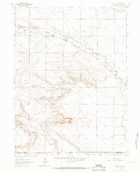
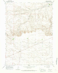
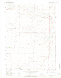
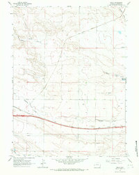
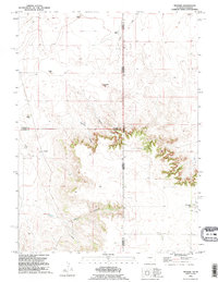
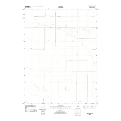
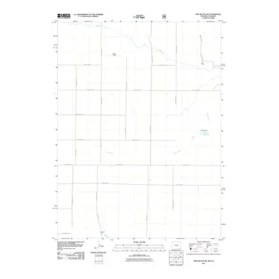
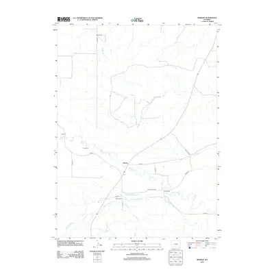
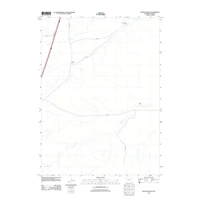
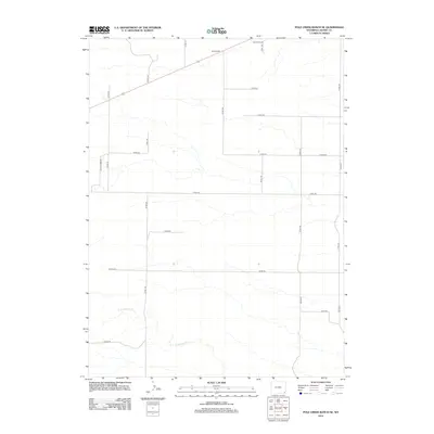
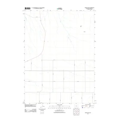
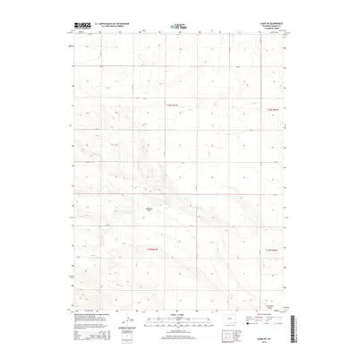
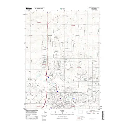
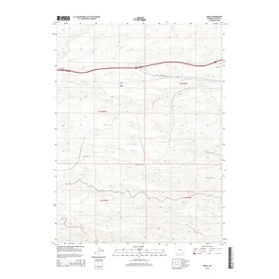
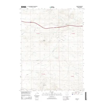
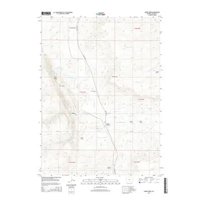
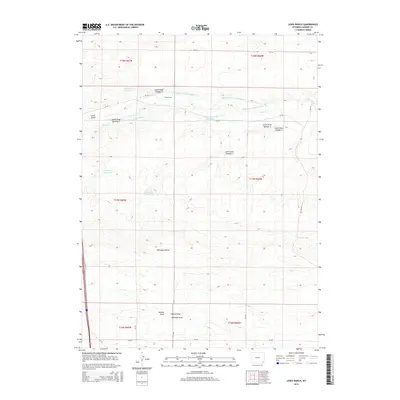
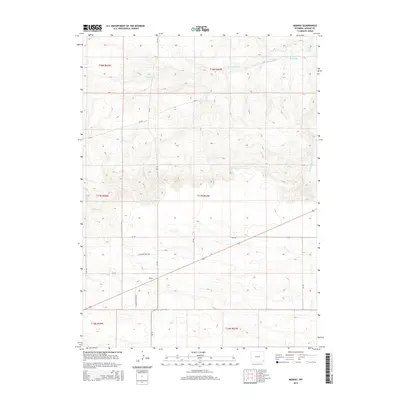
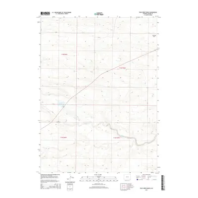
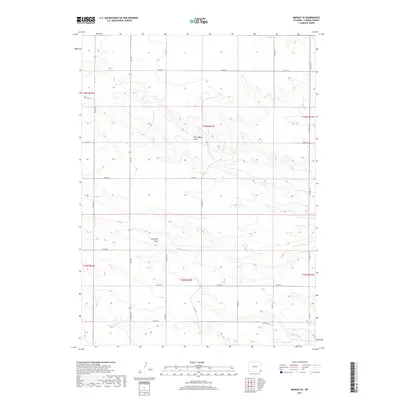
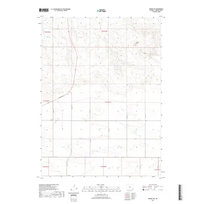
1991 Map of Pine Bluffs SE
USGS Topo · Published 1995About this map
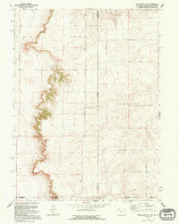
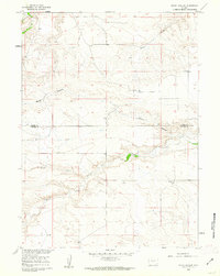
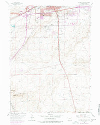
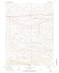
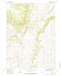
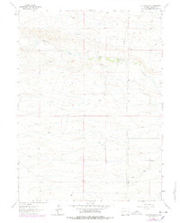
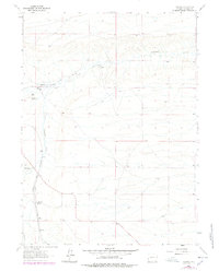
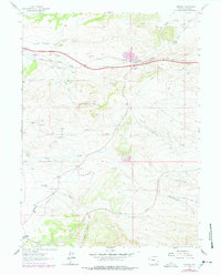
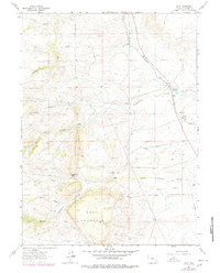
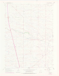
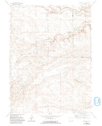
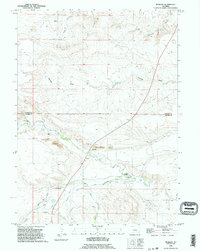
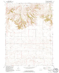
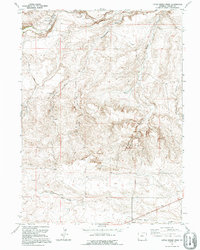
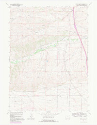
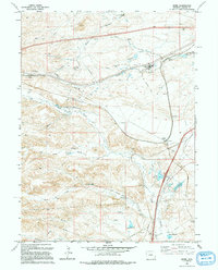
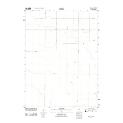
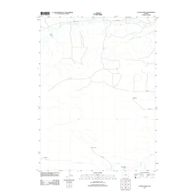
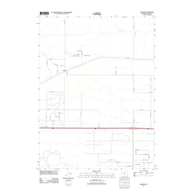
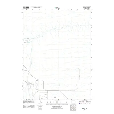
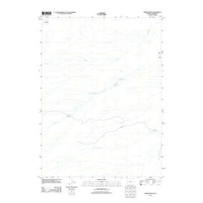
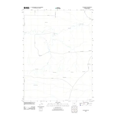
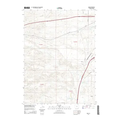
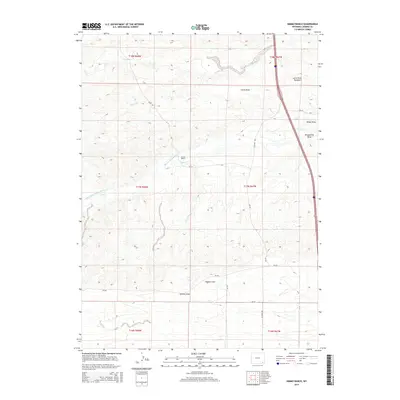
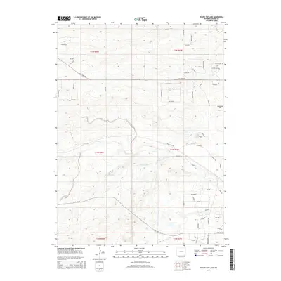
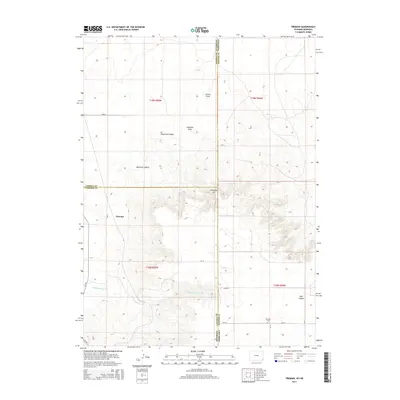
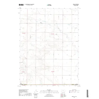
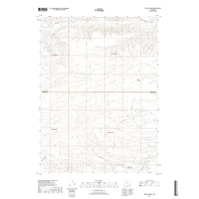
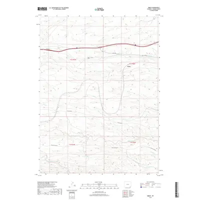
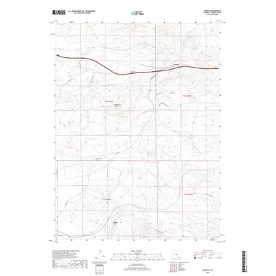
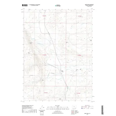
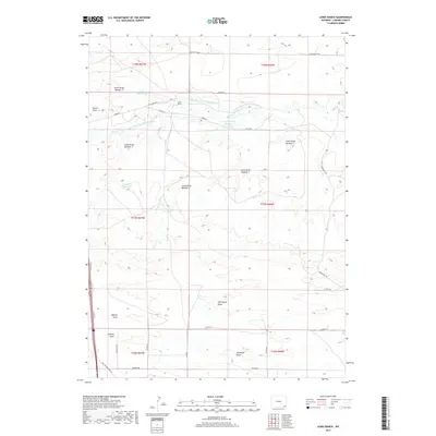
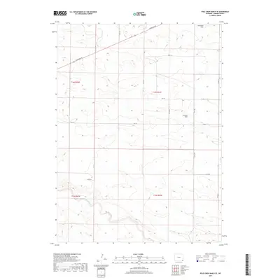
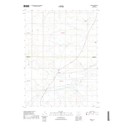
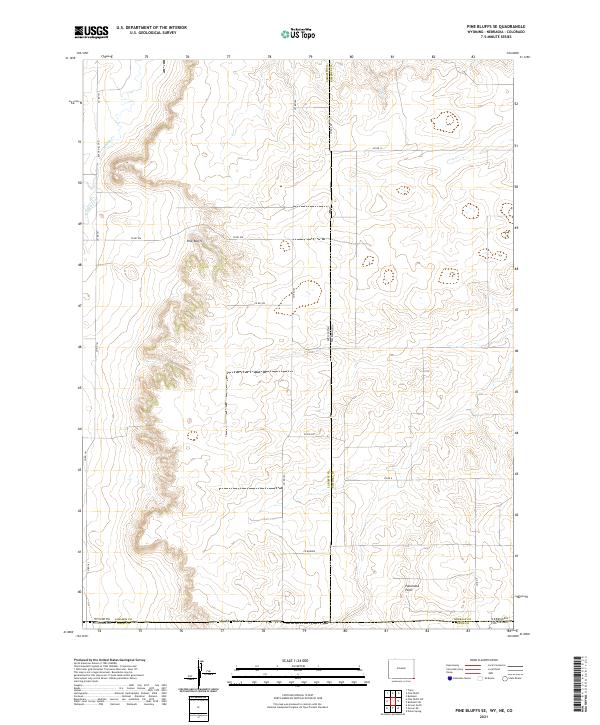
Pine Bluffs provides the defining vertical relief for this tri-state corner, where the High Plains of Wyoming, Nebraska, and Colorado converge. The landscape is characterized by the stark escarpment of the bluffs themselves, which overlook the drainage of Muddy Creek and Spring Creek to the west. This 1991 inspection, based on earlier 1950s aerial photography, reveals a largely undeveloped ranching and resource territory. The map meticulously records the intersection of multiple county lines, including Laramie and Kimball counties at the state line. An industrial presence is marked by a long Pipeline cutting across the southern sections of the grid. In the central-eastern portion, the name Johnson is applied to a large expanse, likely signifying a significant historic ranching holding or a local land division in the Nebraska panhandle.
Find a feature on this map
11 named features on this map. Tap any name to fly to it.
Don’t see what you’re looking for? This feature index may not catch every label — zoom into the map to look around manually.
Map Details
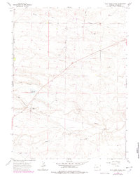
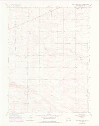
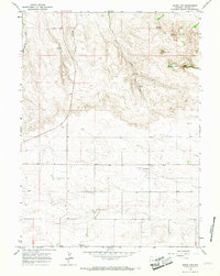
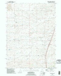
Editions of this 1991 Pine Bluffs SE Map
This is the sole edition of this map. No revisions or reprints were ever made.
Historical Maps of Weld County Through Time
256 maps found
1905 Sherman
Laramie County, WY
1960 Meriden
Laramie County, WY
1960 Petsch Reservoir
Laramie County, WY
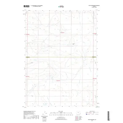
1960 Rocky Hollow
Laramie County, WY
1960 Tremain
Laramie County, WY
1961 Borie
Laramie County, WY
1961 Cheyenne North
Laramie County, WY
1961 Cheyenne South
Laramie County, WY
1961 Round Top Lake
Laramie County, WY
1962 Bristol Ridge
Laramie County, WY
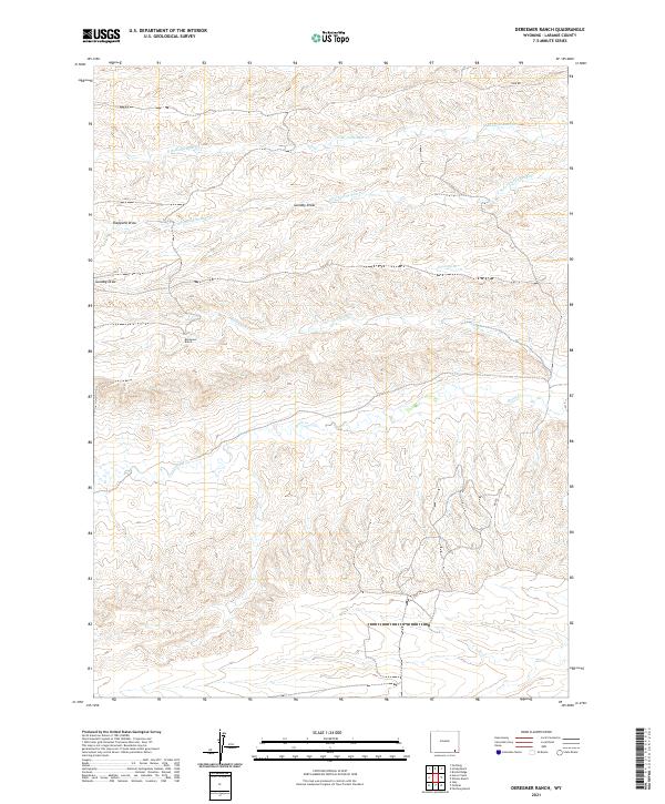
1962 Dereemer Ranch
Laramie County, WY
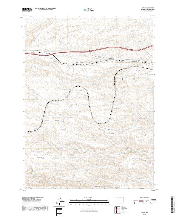
1962 Emkay
Laramie County, WY
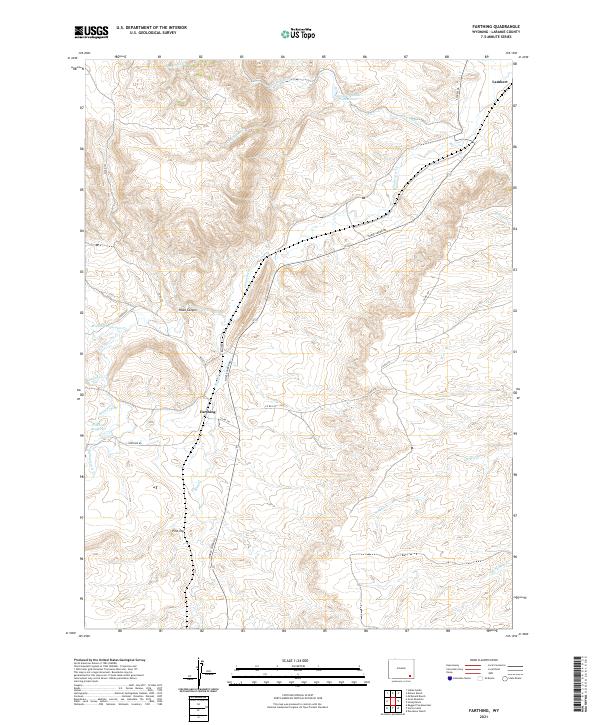
1962 Farthing
Laramie County, WY
1962 Farthing Ranch
Laramie County, WY
1962 Federal
Laramie County, WY
1962 Granite
Laramie County, WY
1962 Hecla
Laramie County, WY
1962 Hirsig Ranch
Laramie County, WY
1962 Horse Creek
Laramie County, WY
1962 Islay
Laramie County, WY
1962 Lewis Ranch
Laramie County, WY
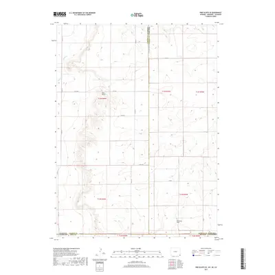
1962 Moffett Ranch
Laramie County, WY
1962 Nimmo Ranch
Laramie County, WY
1962 P O Ranch
Laramie County, WY
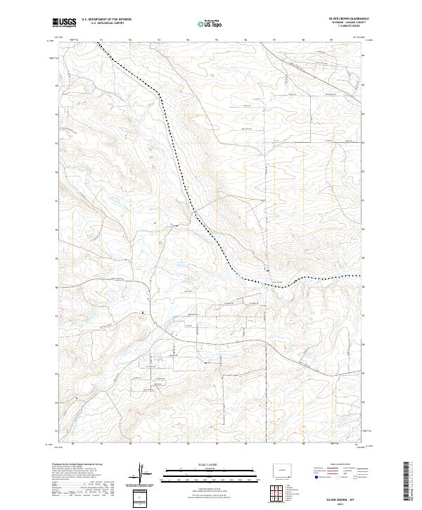
1962 Silver Crown
Laramie County, WY
1963 Altvan
Laramie County, WY
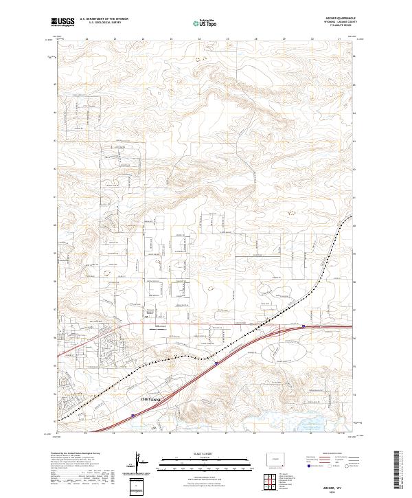
1963 Archer
Laramie County, WY
1963 Arcola
Laramie County, WY
1963 Campstool
Laramie County, WY

1963 Cattail Ranch
Laramie County, WY
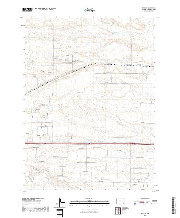
1963 Durham
Laramie County, WY
1963 Gurney Peak
Laramie County, WY
1963 Indian Hill
Laramie County, WY
1963 J H D Ranch
Laramie County, WY
1963 Lindbergh
Laramie County, WY
1963 Little Indian Draw
Laramie County, WY
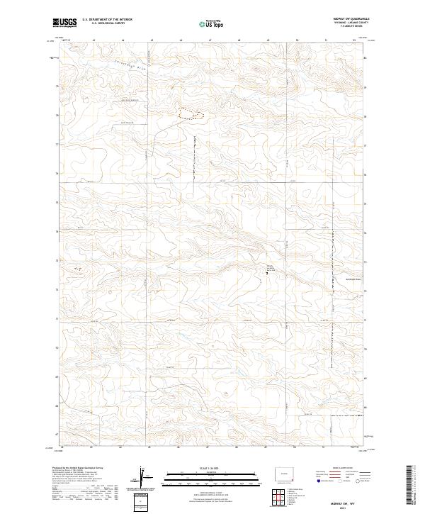
1963 Midway
Laramie County, WY
1963 Midway SE
Laramie County, WY
1963 Midway SW
Laramie County, WY
1963 Pine Bluffs SE
Laramie County, WY
1963 Pine Bluffs SW
Laramie County, WY
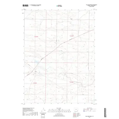
1963 Pole Creek Ranch
Laramie County, WY
1963 Pole Creek Ranch SE
Laramie County, WY
1963 Round Top
Laramie County, WY
1963 Tracy
Laramie County, WY
1990 Bristol Ridge
Laramie County, WY
1990 Cattail Ranch
Laramie County, WY
1990 Indian Hill
Laramie County, WY
1990 Meriden
Laramie County, WY
1990 Moffett Ranch
Laramie County, WY
1990 Petsch Reservoir
Laramie County, WY
1990 Rocky Hollow
Laramie County, WY
1990 Tremain
Laramie County, WY
1991 Albin SW
Laramie County, WY
1991 Arcola
Laramie County, WY
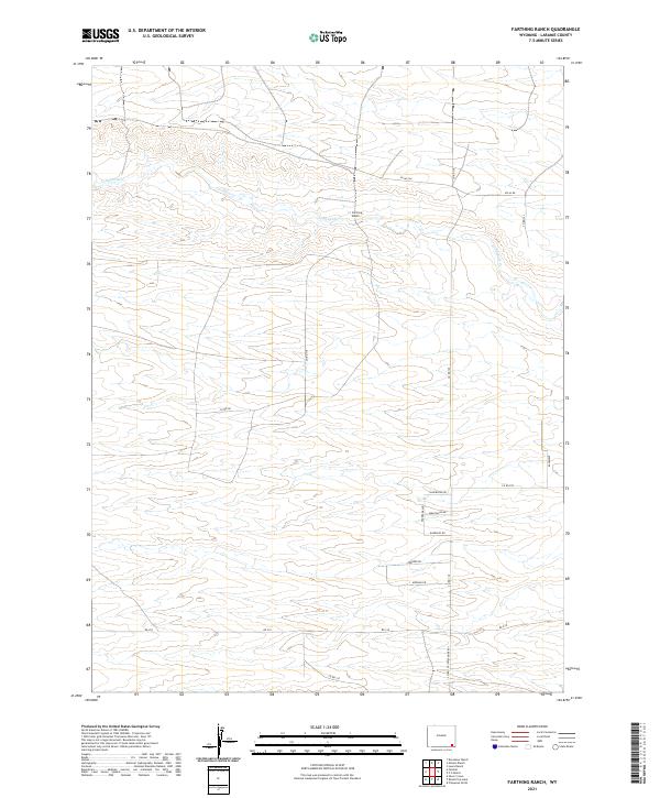
1991 Farthing Ranch
Laramie County, WY
1991 Gurney Peak
Laramie County, WY
1991 J H D Ranch
Laramie County, WY
1991 Lewis Ranch
Laramie County, WY
1991 Lindbergh
Laramie County, WY
1991 Little Indian Draw
Laramie County, WY
1991 Midway
Laramie County, WY
1991 Midway SE
Laramie County, WY
1991 Midway SW
Laramie County, WY
1991 Nimmo Ranch
Laramie County, WY
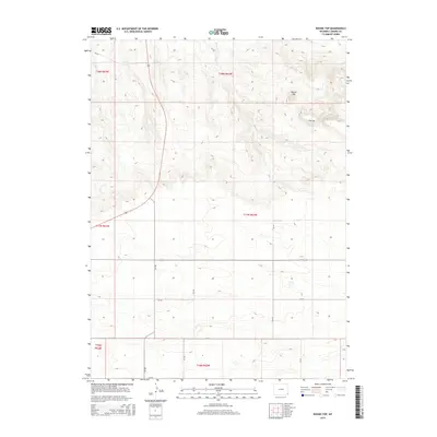
1991 Pine Bluffs SE
Laramie County, WY
1991 Pine Bluffs SW
Laramie County, WY
1991 Pole Creek Ranch
Laramie County, WY
1991 Round Top
Laramie County, WY
1994 Borie
Laramie County, WY
1994 Cheyenne North
Laramie County, WY
1994 Cheyenne South
Laramie County, WY
2010 Altvan
Laramie County, WY
2010 Arcola
Laramie County, WY
2010 Campstool
Laramie County, WY
2010 Cheyenne South
Laramie County, WY
2011 Pine Bluffs SE
Laramie County, WY
2011 Pine Bluffs SW
Laramie County, WY
2012 Albin SW
Laramie County, WY
2012 Altvan
Laramie County, WY
2012 Archer
Laramie County, WY
2012 Arcola
Laramie County, WY
2012 Borie
Laramie County, WY
2012 Bristol Ridge
Laramie County, WY
2012 Campstool
Laramie County, WY
2012 Cattail Ranch
Laramie County, WY
2012 Cheyenne North
Laramie County, WY
2012 Cheyenne South
Laramie County, WY
2012 Dereemer Ranch
Laramie County, WY
2012 Durham
Laramie County, WY
2012 Emkay
Laramie County, WY
2012 Farthing
Laramie County, WY
2012 Farthing Ranch
Laramie County, WY
2012 Federal
Laramie County, WY
2012 Granite
Laramie County, WY
2012 Gurney Peak
Laramie County, WY
2012 Hecla
Laramie County, WY
2012 Hirsig Ranch
Laramie County, WY
2012 Horse Creek
Laramie County, WY
2012 Indian Hill
Laramie County, WY
2012 Islay
Laramie County, WY
2012 J H D Ranch
Laramie County, WY
2012 Lewis Ranch
Laramie County, WY
2012 Lindbergh
Laramie County, WY
2012 Little Indian Draw
Laramie County, WY
2012 Meriden
Laramie County, WY
2012 Midway
Laramie County, WY
2012 Midway SE
Laramie County, WY
2012 Midway SW
Laramie County, WY
2012 Moffett Ranch
Laramie County, WY
2012 Nimmo Ranch
Laramie County, WY
2012 Petsch Reservoir
Laramie County, WY
2012 Pole Creek Ranch
Laramie County, WY
2012 Pole Creek Ranch SE
Laramie County, WY
2012 P O Ranch
Laramie County, WY
2012 Rocky Hollow
Laramie County, WY
2012 Round Top Lake
Laramie County, WY
2012 Round Top
Laramie County, WY
2012 Silver Crown
Laramie County, WY
2012 Tracy
Laramie County, WY
2012 Tremain
Laramie County, WY
2015 Albin SW
Laramie County, WY
2015 Altvan
Laramie County, WY
2015 Archer
Laramie County, WY
2015 Arcola
Laramie County, WY
2015 Borie
Laramie County, WY
2015 Bristol Ridge
Laramie County, WY
2015 Campstool
Laramie County, WY
2015 Cattail Ranch
Laramie County, WY
2015 Cheyenne North
Laramie County, WY
2015 Cheyenne South
Laramie County, WY
2015 Dereemer Ranch
Laramie County, WY
2015 Durham
Laramie County, WY
2015 Emkay
Laramie County, WY
2015 Farthing
Laramie County, WY
2015 Farthing Ranch
Laramie County, WY
2015 Federal
Laramie County, WY
2015 Granite
Laramie County, WY
2015 Gurney Peak
Laramie County, WY
2015 Hecla
Laramie County, WY
2015 Hirsig Ranch
Laramie County, WY
2015 Horse Creek
Laramie County, WY
2015 Indian Hill
Laramie County, WY
2015 Islay
Laramie County, WY
2015 J H D Ranch
Laramie County, WY
2015 Lewis Ranch
Laramie County, WY
2015 Lindbergh
Laramie County, WY
2015 Little Indian Draw
Laramie County, WY
2015 Meriden
Laramie County, WY
2015 Midway
Laramie County, WY
2015 Midway SE
Laramie County, WY
2015 Midway SW
Laramie County, WY
2015 Moffett Ranch
Laramie County, WY
2015 Nimmo Ranch
Laramie County, WY
2015 Petsch Reservoir
Laramie County, WY
2015 Pine Bluffs SE
Laramie County, WY
2015 Pine Bluffs SW
Laramie County, WY
2015 Pole Creek Ranch
Laramie County, WY
2015 Pole Creek Ranch SE
Laramie County, WY
2015 P O Ranch
Laramie County, WY
2015 Rocky Hollow
Laramie County, WY
2015 Round Top Lake
Laramie County, WY
2015 Round Top
Laramie County, WY
2015 Silver Crown
Laramie County, WY
2015 Tracy
Laramie County, WY
2015 Tremain
Laramie County, WY
2017 Albin SW
Laramie County, WY
2017 Altvan
Laramie County, WY
2017 Archer
Laramie County, WY
2017 Arcola
Laramie County, WY
2017 Borie
Laramie County, WY
2017 Bristol Ridge
Laramie County, WY
2017 Campstool
Laramie County, WY
2017 Cattail Ranch
Laramie County, WY
2017 Cheyenne North
Laramie County, WY
2017 Cheyenne South
Laramie County, WY
2017 Durham
Laramie County, WY
2017 Emkay
Laramie County, WY
2017 Farthing
Laramie County, WY
2017 Farthing Ranch
Laramie County, WY
2017 Federal
Laramie County, WY
2017 Granite
Laramie County, WY
2017 Gurney Peak
Laramie County, WY
2017 Hecla
Laramie County, WY
2017 Hirsig Ranch
Laramie County, WY
2017 Horse Creek
Laramie County, WY
2017 Indian Hill
Laramie County, WY
2017 Islay
Laramie County, WY
2017 J H D Ranch
Laramie County, WY
2017 Lewis Ranch
Laramie County, WY
2017 Lindbergh
Laramie County, WY
2017 Little Indian Draw
Laramie County, WY
2017 Midway
Laramie County, WY
2017 Midway SE
Laramie County, WY
2017 Midway SW
Laramie County, WY
2017 Moffett Ranch
Laramie County, WY
2017 Nimmo Ranch
Laramie County, WY
2017 Petsch Reservoir
Laramie County, WY
2017 Pine Bluffs SE
Laramie County, WY
2017 Pine Bluffs SW
Laramie County, WY
2017 Pole Creek Ranch
Laramie County, WY
2017 Pole Creek Ranch SE
Laramie County, WY
2017 P O Ranch
Laramie County, WY
2017 Rocky Hollow
Laramie County, WY
2017 Round Top Lake
Laramie County, WY
2017 Round Top
Laramie County, WY
2017 Silver Crown
Laramie County, WY
2017 Tracy
Laramie County, WY
2018 Dereemer Ranch
Laramie County, WY
2018 Meriden
Laramie County, WY
2018 Tremain
Laramie County, WY
2021 Albin SW
Laramie County, WY
2021 Altvan
Laramie County, WY
2021 Archer
Laramie County, WY
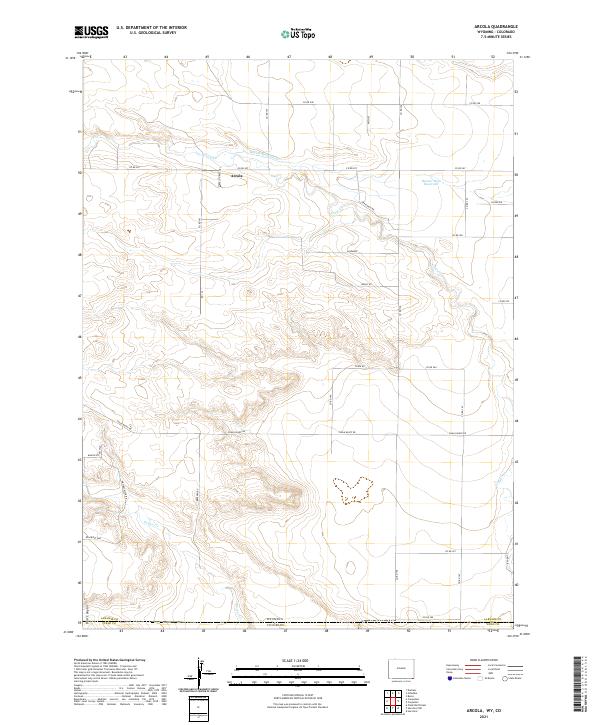
2021 Arcola
Laramie County, WY
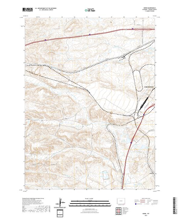
2021 Borie
Laramie County, WY
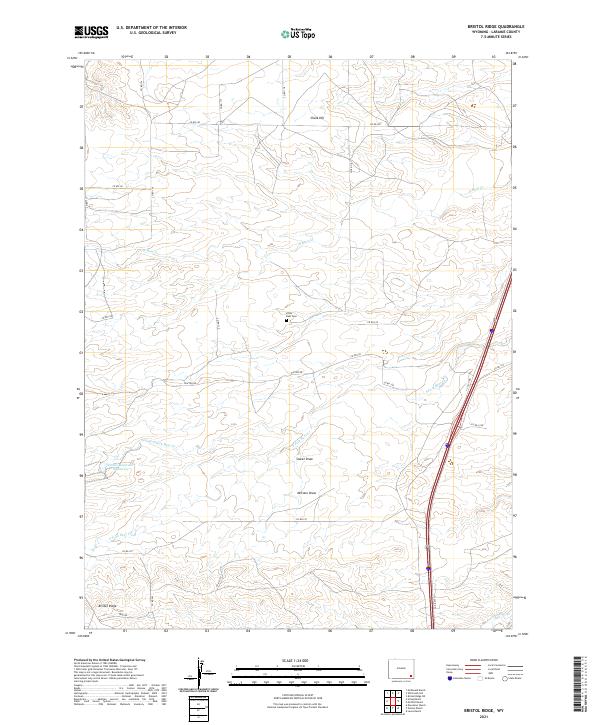
2021 Bristol Ridge
Laramie County, WY
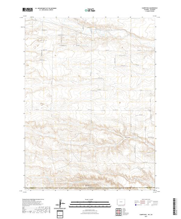
2021 Campstool
Laramie County, WY
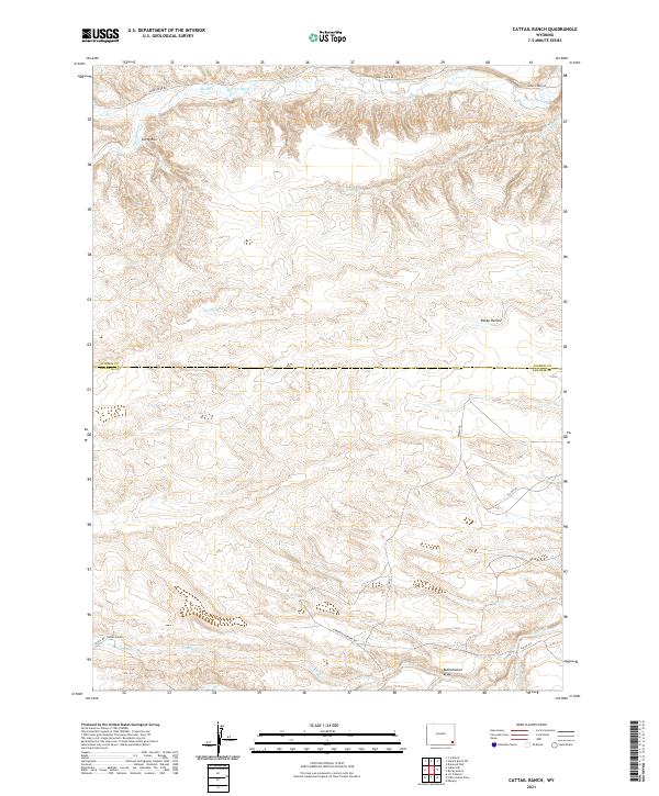
2021 Cattail Ranch
Laramie County, WY
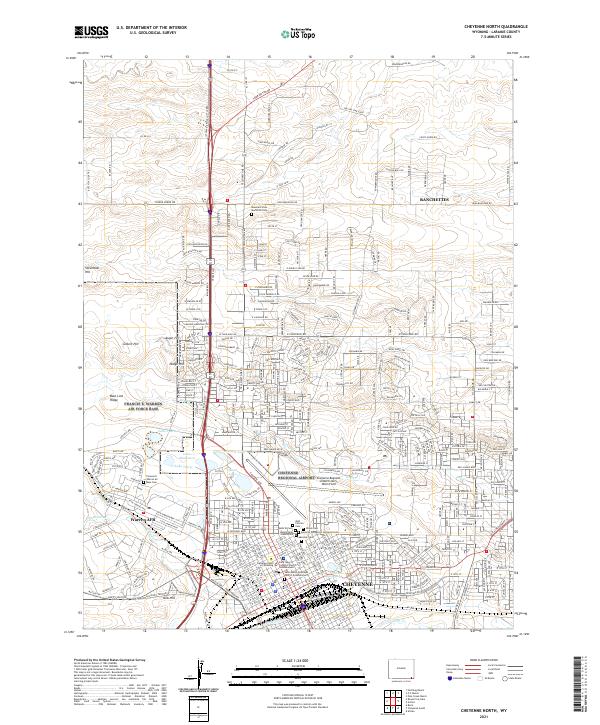
2021 Cheyenne North
Laramie County, WY
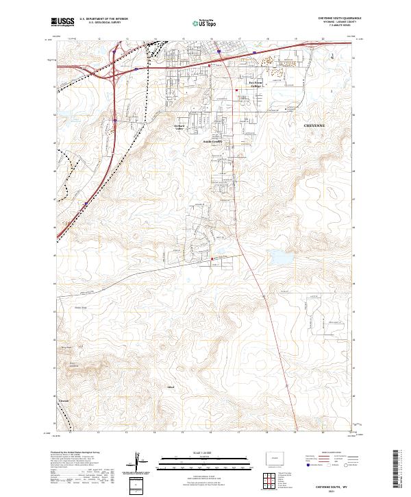
2021 Cheyenne South
Laramie County, WY
2021 Dereemer Ranch
Laramie County, WY
2021 Durham
Laramie County, WY
2021 Emkay
Laramie County, WY
2021 Farthing
Laramie County, WY
2021 Farthing Ranch
Laramie County, WY
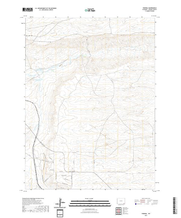
2021 Federal
Laramie County, WY
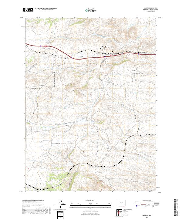
2021 Granite
Laramie County, WY
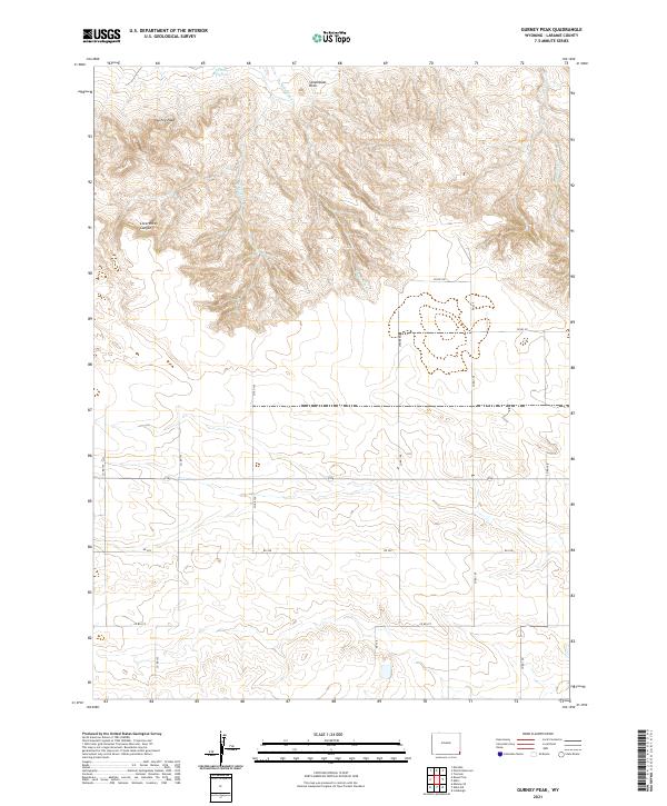
2021 Gurney Peak
Laramie County, WY
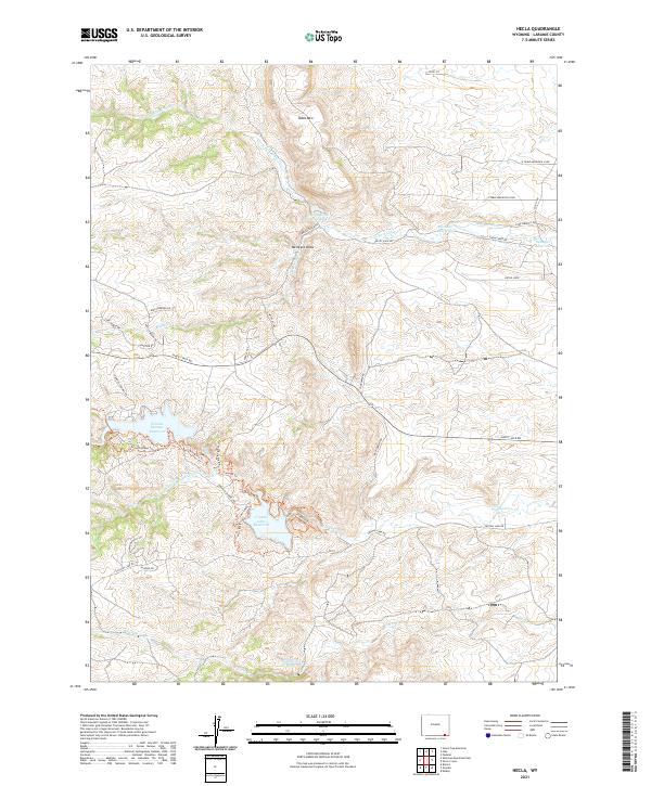
2021 Hecla
Laramie County, WY
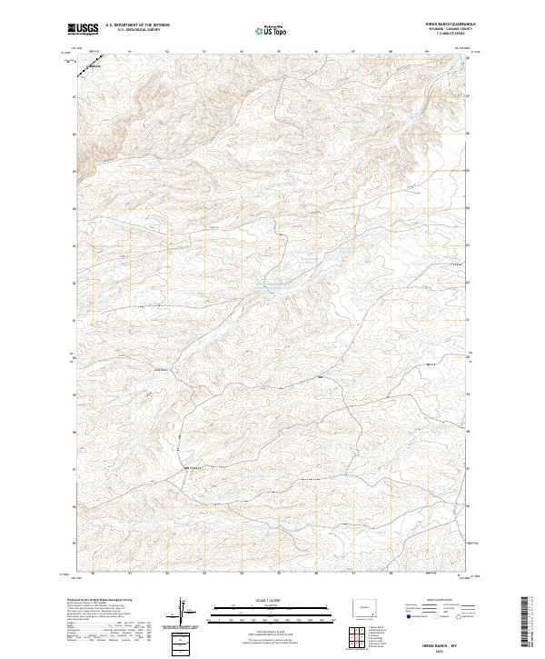
2021 Hirsig Ranch
Laramie County, WY
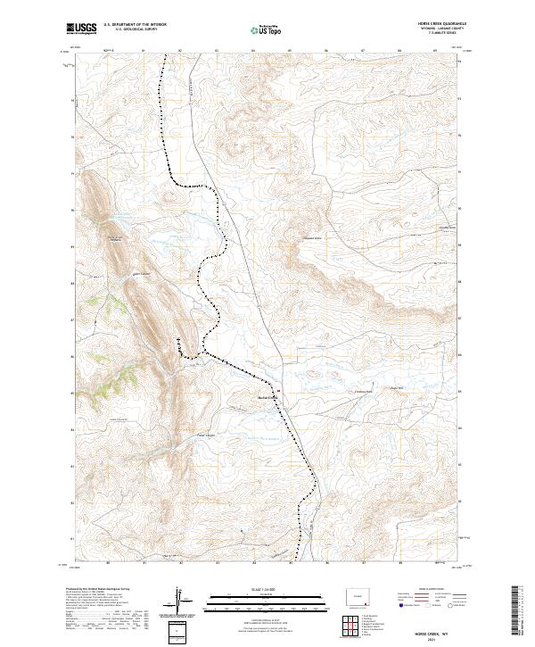
2021 Horse Creek
Laramie County, WY
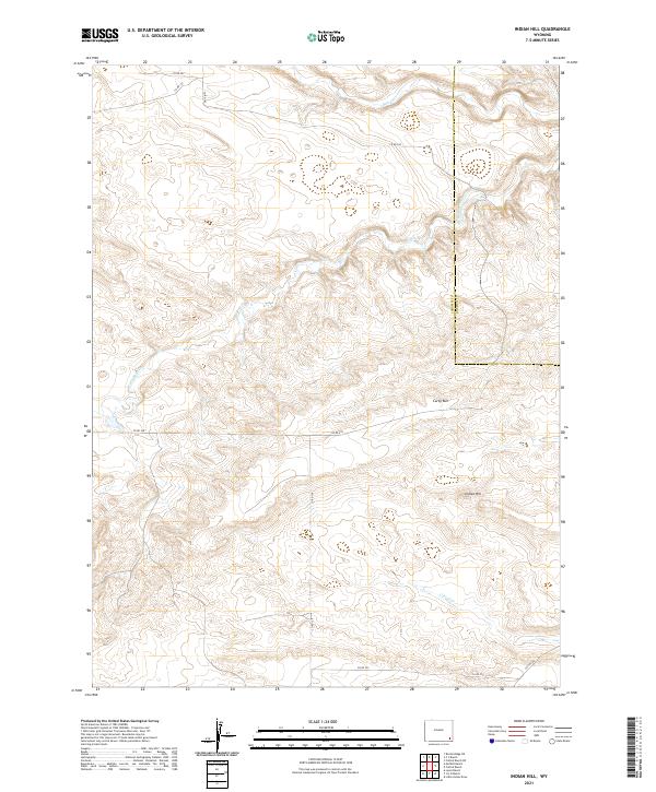
2021 Indian Hill
Laramie County, WY
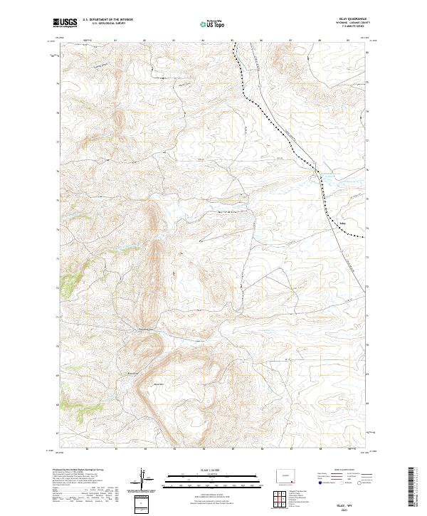
2021 Islay
Laramie County, WY
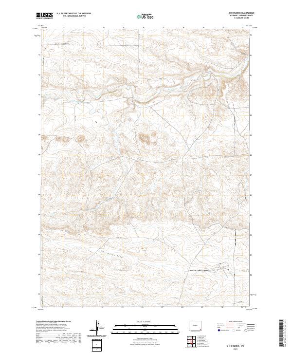
2021 J H D Ranch
Laramie County, WY
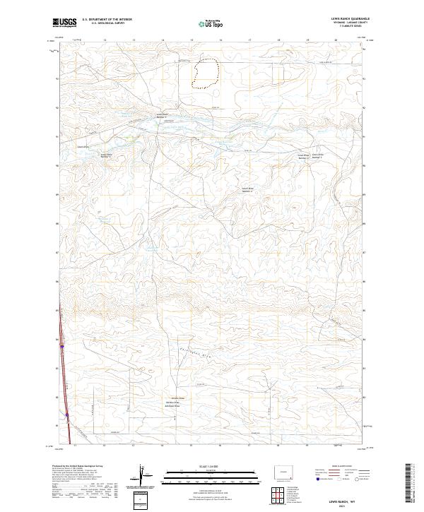
2021 Lewis Ranch
Laramie County, WY
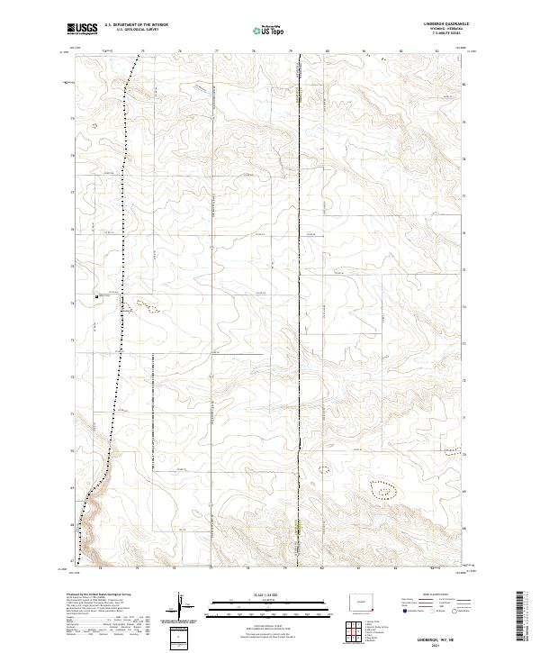
2021 Lindbergh
Laramie County, WY
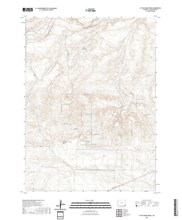
2021 Little Indian Draw
Laramie County, WY
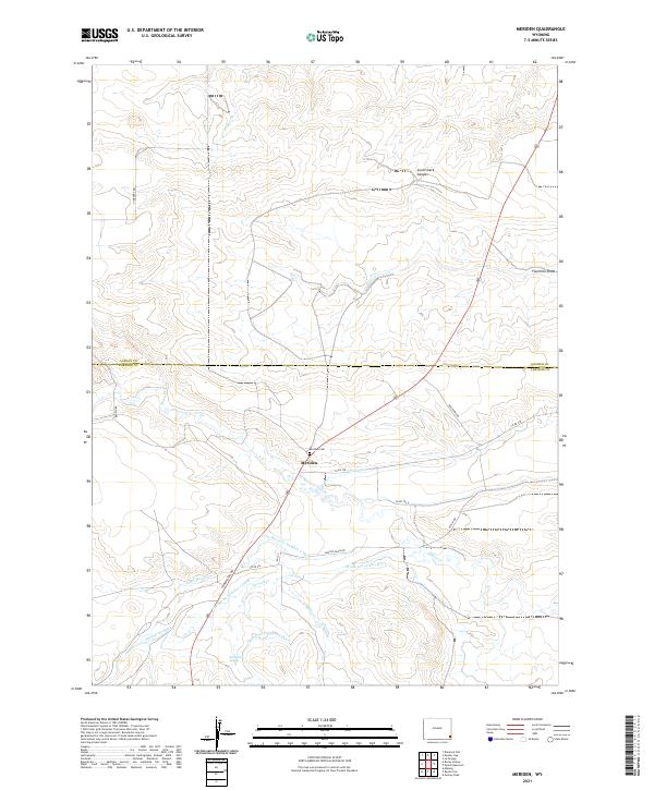
2021 Meriden
Laramie County, WY
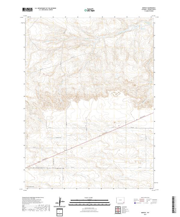
2021 Midway
Laramie County, WY
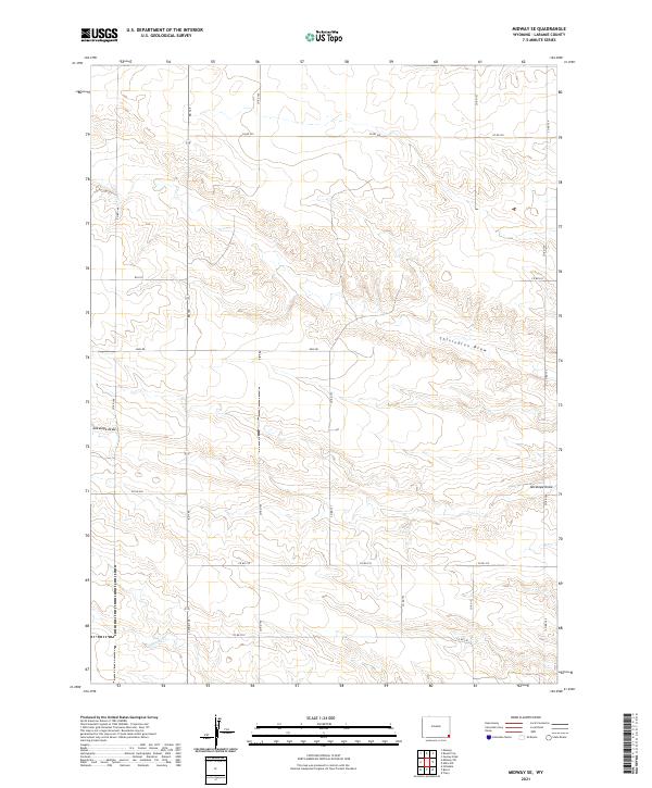
2021 Midway SE
Laramie County, WY
2021 Midway SW
Laramie County, WY
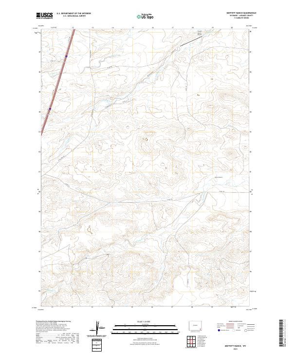
2021 Moffett Ranch
Laramie County, WY
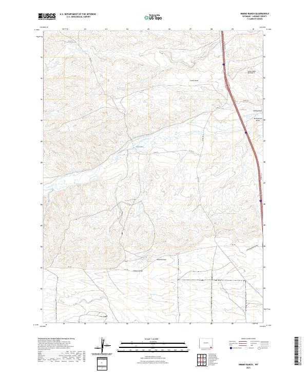
2021 Nimmo Ranch
Laramie County, WY
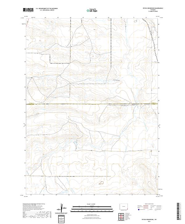
2021 Petsch Reservoir
Laramie County, WY
2021 Pine Bluffs SE
Laramie County, WY
2021 Pine Bluffs SW
Laramie County, WY
2021 Pole Creek Ranch
Laramie County, WY
2021 Pole Creek Ranch SE
Laramie County, WY
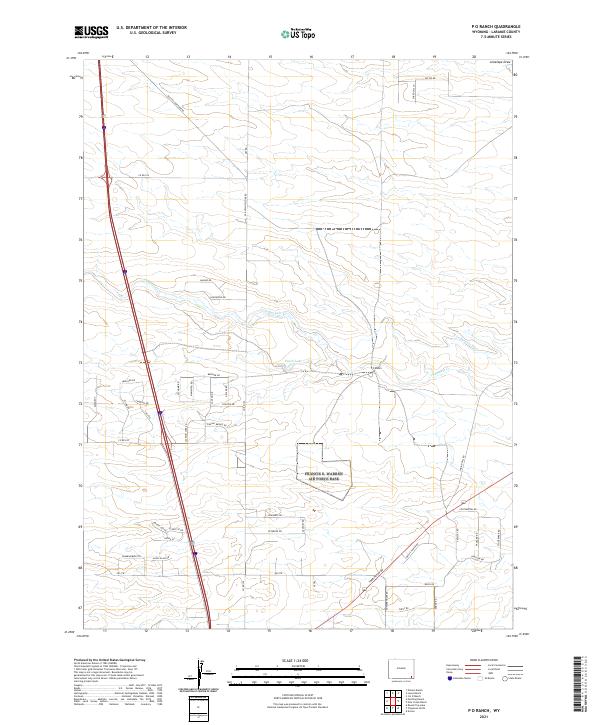
2021 P O Ranch
Laramie County, WY
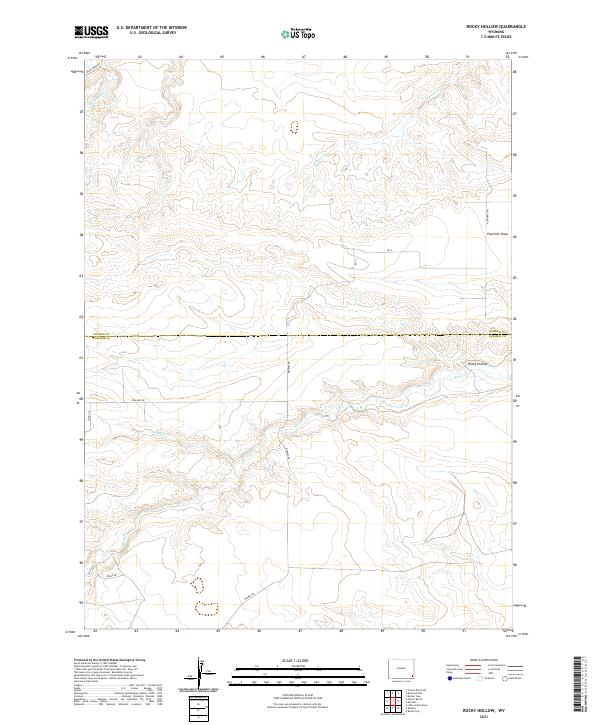
2021 Rocky Hollow
Laramie County, WY
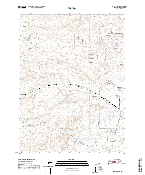
2021 Round Top Lake
Laramie County, WY
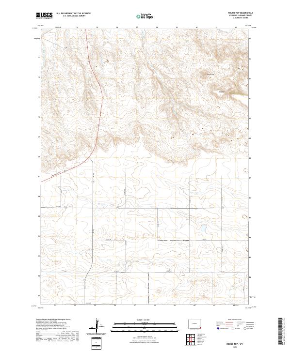
2021 Round Top
Laramie County, WY
2021 Silver Crown
Laramie County, WY
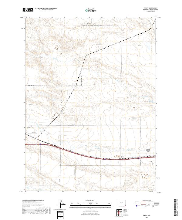
2021 Tracy
Laramie County, WY
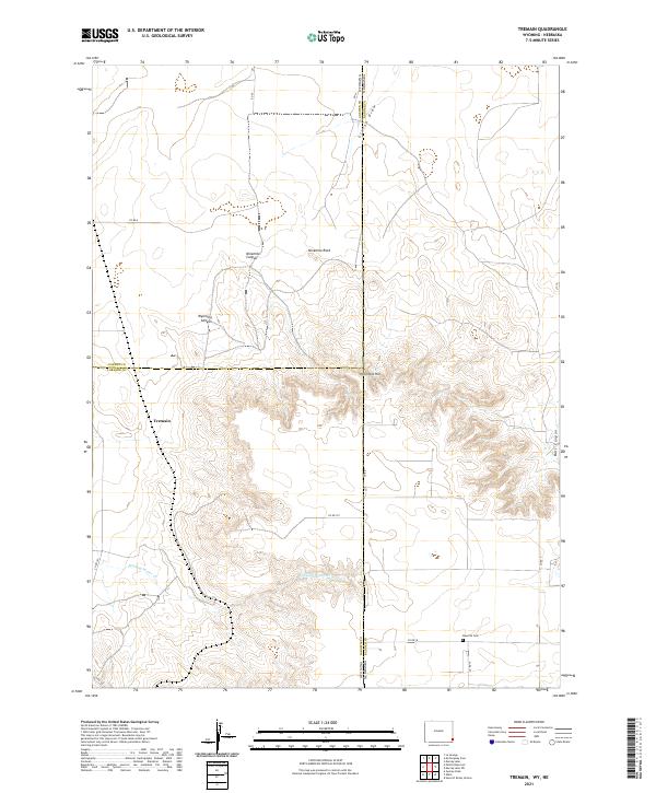
2021 Tremain
Laramie County, WY