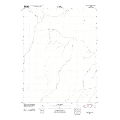
2011 Map of Pine Canyon
USGS Topo · Published 2011About this map
Whitmore Park and the deeply incised drainages of the Tavaputs Plateau define this portion of Carbon County. The landscape is marked by a complex network of canyons and high-elevation parks, where Pine Canyon and Dugout Canyon serve as primary conduits for seasonal water and access roads. Human activity is evidenced by a series of utilitarian landmarks, including a Sheep Corral and a specific Drill Pad, reflecting the region's history of ranching and resource extraction. Significant elevation changes are negotiated by The Switchbacks near Sage Pt, while the southern reaches open into Clark Valley. Waterways such as Soldier Creek and Dugout Creek provide the primary drainage for this arid, high-desert environment, carving the distinct geological features that have dictated travel routes like Pace Canyon Rd and 9 Mile Rd.
Find a feature on this map
28 named features on this map. Tap any name to fly to it.
Don’t see what you’re looking for? This feature index may not catch every label — zoom into the map to look around manually.
Map Details
Editions of this 2011 Pine Canyon Map
This is the sole edition of this map. No revisions or reprints were ever made.
Other maps of this area

1886 · Price River
USGS Topo · 1:250,000

1896 · Price River
USGS Topo · 1:250,000

1915 · Sunnyside
USGS Topo · 1:62,500

1915 · Wellington
USGS Topo · 1:62,500

1956 · Price
USGS Topo · 1:250,000

1960 · Price
USGS Topo · 1:250,000

1962 · Price
USGS Topo · 1:250,000

1968 · Wood Canyon
USGS Topo · 1:24,000
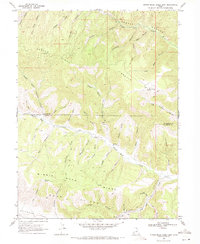
1969 · Minnie Maud Creek East
USGS Topo · 1:24,000
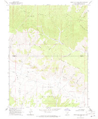
1969 · Minnie Maud Creek West
USGS Topo · 1:24,000