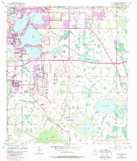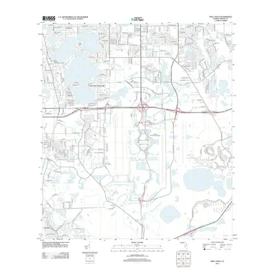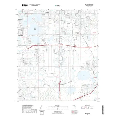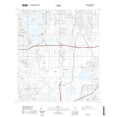
2024 Map of Pine Castle
USGS Topo · Published 2024About this map
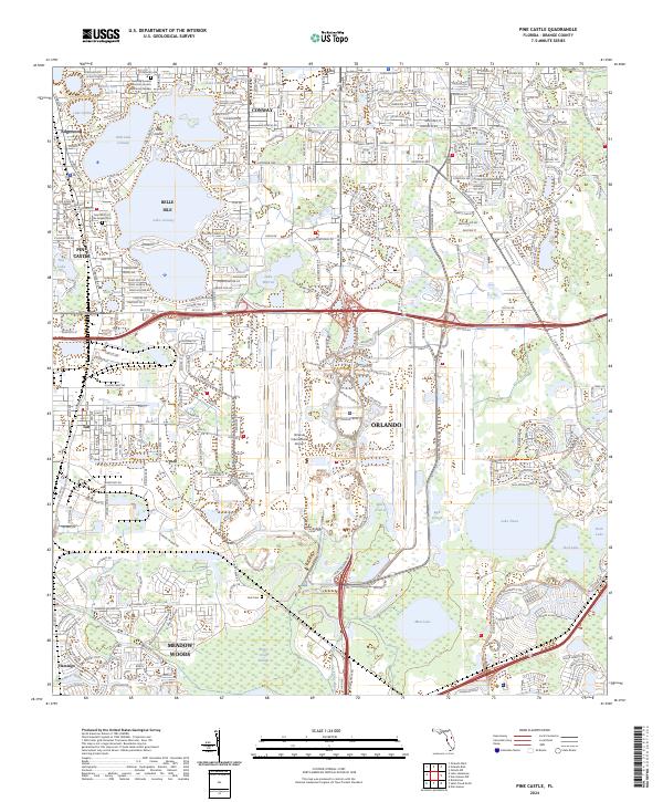
The sprawling runways of Orlando International Airport dominate the center of this landscape, a defining feature of the modern regional economy. To the north, the residential communities of Conway and Belle Isle wrap around the extensive waters of Lake Conway and Little Lake Conway, illustrating the suburban character that has developed around these large interior lakes. Further south, the landscape shifts toward the low-lying wetlands of Boggy Creek Swamp and the waters of Lake Nona, indicating the transition into the less densely developed areas near Meadow Woods. This 2024 survey captures the significant transportation infrastructure, including major routes like McCoy Rd and S Orange Ave, that connects the established neighborhoods of Pine Castle and Edgewood with the industrial and logistics hubs near Taft. Local history is preserved in sites such as the Saint Mary of the Angels Cem and the Pershing Avenue Christian Church Memorial Garden.
Find a feature on this map
170 named features on this map. Tap any name to fly to it.
Don’t see what you’re looking for? This feature index may not catch every label — zoom into the map to look around manually.
Map Details
Editions of this 2024 Pine Castle Map
This is the sole edition of this map. No revisions or reprints were ever made.
Historical Maps of Orlando Through Time
6 maps found