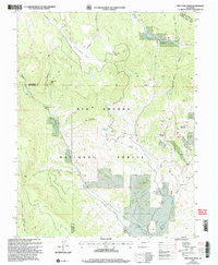
2001 Map of Pine Cone Knob
USGS Topo · Published 2005About this map
Rio Grande National Forest dominates this high-altitude landscape along the border of Rio Grande and Saguache counties. The map documents a rugged mining and ranching geography, centered on the remains of the Embargo settlement. To the east, Cyclone Mountain and Pine Cone Knob define the ridgeline, while various unnamed Mine and Prospect labels indicate the mineral exploration that once characterized these canyons.
Find a feature on this map
34 named features on this map. Tap any name to fly to it.
Don’t see what you’re looking for? This feature index may not catch every label — zoom into the map to look around manually.
Map Details
Editions of this 2001 Pine Cone Knob Map
This is the sole edition of this map. No revisions or reprints were ever made.
Other maps of this area

1914 · Creede
USGS Topo · 1:125,000

1915 · Del Norte
USGS Topo · 1:125,000

1916 · Creede
USGS Topo · 1:125,000

1917 · Del Norte
USGS Topo · 1:125,000

1945 · Durango
USGS Topo · 1:250,000

1953 · Durango
USGS Topo · 1:250,000

1954 · Durango
USGS Topo · 1:250,000

1961 · Durango
USGS Topo · 1:250,000

1963 · Durango
USGS Topo · 1:250,000

1966 · Durango
USGS Topo · 1:250,000