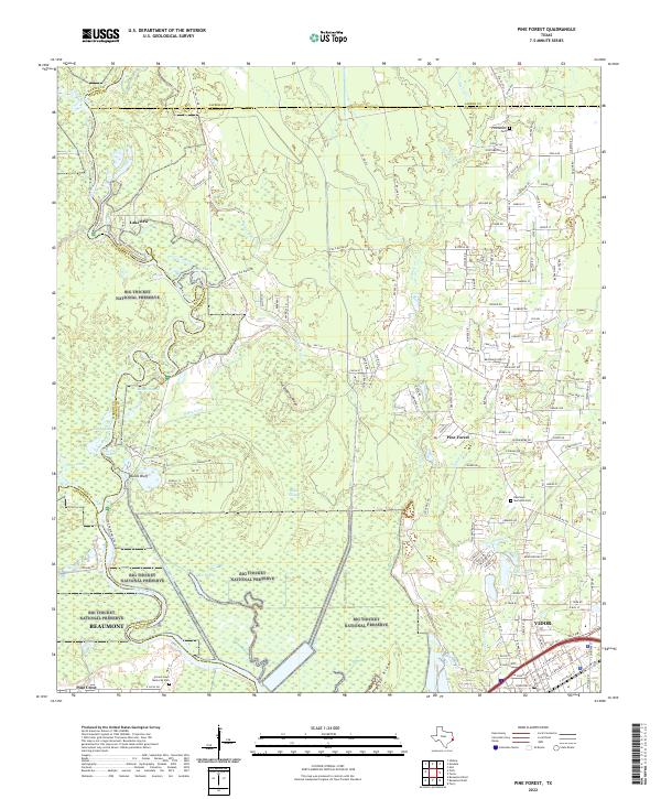
2022 Map of Pine Forest
USGS Topo · Published 2022About this map
The Neches River and its complex network of tributaries dictate the geography of this modern landscape north of Vidor. This area, situated where Orange, Hardin, and Jasper counties converge, is defined by the extensive Big Thicket National Preserve, which encompasses vast wetlands and forests around Village Creek and the Wiess Canal. The map captures the interface between these protected natural systems and the residential expansion of communities like Pine Forest and Lakeview.
Find a feature on this map
156 named features on this map. Tap any name to fly to it.
Don’t see what you’re looking for? This feature index may not catch every label — zoom into the map to look around manually.
Map Details
Editions of this 2022 Pine Forest Map
This is the sole edition of this map. No revisions or reprints were ever made.
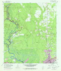
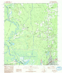
Historical Maps of Echo Forest Through Time
3 maps found