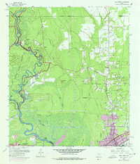
1960 Map of Pine Forest
USGS Topo · Published 1978About this map
The Neches River winds through a landscape of dense bayous and sloughs on the edge of the Big Thicket National Preserve, where water defines the boundary between Orange and Jefferson counties. This 1960s-era geography captures the expansion of Vidor and the established rural settlements of Pine Forest and Lakeview. The presence of the Dorothy Oil Field and scattered Oil Wells across the eastern flats indicates the region's industrial ties to petroleum, while the Wiess Canal and an Old Railroad Grade trace the legacy of earlier water and timber transport.
Find a feature on this map
49 named features on this map. Tap any name to fly to it.
Don’t see what you’re looking for? This feature index may not catch every label — zoom into the map to look around manually.
Map Details
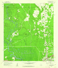
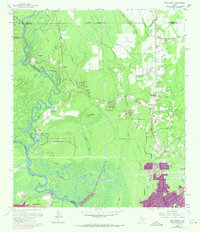
Editions of this 1960 Pine Forest Map
3 editions found
Other maps of this area

1926 · Terry
USGS Topo · 1:24,000

1926 · Lakeview
USGS Topo · 1:24,000

1926 · Vidor
USGS Topo · 1:24,000

1926 · Texla
USGS Topo · 1:24,000

1932 · Beaumont
USGS Topo · 1:62,500

1943 · Terry
USGS Topo · 1:24,000

1943 · Texla
USGS Topo · 1:24,000

1943 · Beaumont East
USGS Topo · 1:24,000

1952 · Lake Charles
USGS Topo · 1:250,000

1954 · Lake Charles
USGS Topo · 1:250,000