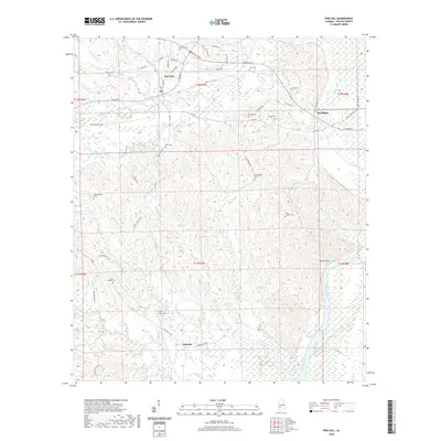
2020 Map of Pine Hill
USGS Topo · Published 2020About this map
The Alabama River flows along the eastern edge of this Wilcox County landscape, serving as a primary geographical boundary just south of Yellow Bluff. The town of Pine Hill serves as a local hub, where Broad St and Old Selma Rd converge amidst a network of timberlands and rural homesteads. This area is notably dense with family and community burial grounds, preserving the genealogy of the region through sites like the Shamburger Cem, Kelly Cem, and Lanes Chapel Cem. The topography is defined by numerous watercourses including Beaver Cr, Caney Cr, and Tiger Cr, which drain into the river system. Large industrial footprints near Industrial Dr and the settlement of MacMillan indicate the modern economic drivers of this section of the Alabama coastal plain.
Find a feature on this map
63 named features on this map. Tap any name to fly to it.
Don’t see what you’re looking for? This feature index may not catch every label — zoom into the map to look around manually.
Map Details
Editions of this 2020 Pine Hill Map
This is the sole edition of this map. No revisions or reprints were ever made.
Other maps of this area

1953 · Montgomery
USGS Topo · 1:250,000

1953 · Andalusia
USGS Topo · 1:250,000

1956 · Montgomery
USGS Topo · 1:250,000

1957 · Montgomery
USGS Topo · 1:250,000

1957 · Andalusia
USGS Topo · 1:250,000

1973 · Coy
USGS Topo · 1:24,000

1973 · Fulton East
USGS Topo · 1:24,000

1973 · Hybart
USGS Topo · 1:24,000

1973 · Pine Hill
USGS Topo · 1:24,000

1973 · Thomasville
USGS Topo · 1:24,000