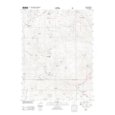
2013 Map of Pine
USGS Topo · Published 2013About this map
The North Fork South Platte River winds through this mountain corridor, carving a path for historic settlements and modern infrastructure alike. The community of Pine Grove serves as a central point of interest, situated near Crystal Lake and the Pine Cem. The landscape is defined by its dramatic relief, where Cathedral Spires and Banner Peak overlook a network of narrow gulches such as Gooseberry Gulch and Miller Gulch.
Find a feature on this map
101 named features on this map. Tap any name to fly to it.
Don’t see what you’re looking for? This feature index may not catch every label — zoom into the map to look around manually.
Map Details
Editions of this 2013 Pine Map
This is the sole edition of this map. No revisions or reprints were ever made.
Other maps of this area
1893 · Platte Canyon
USGS Topo · 1:125,000

1899 · West Denver
USGS Topo · 1:125,000
1945 · Indian Hills
USGS Topo · 1:31,680
1945 · Platte Canyon
USGS Topo · 1:24,000
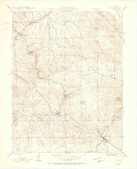
1945 · Pine
USGS Topo · 1:24,000
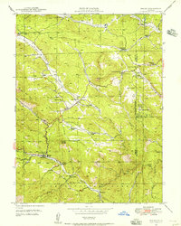
1945 · Bailey
USGS Topo · 1:24,000
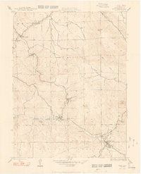
1948 · Pine
USGS Topo · 1:24,000
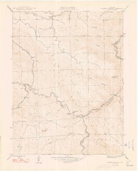
1948 · Platte Canyon
USGS Topo · 1:24,000
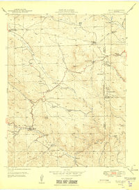
1949 · Bailey
USGS Topo · 1:24,000
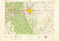
1953 · Denver
USGS Topo · 1:250,000