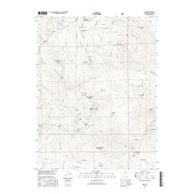
2016 Map of Pine
USGS Topo · Published 2016About this map
The North Fork South Platte River carves a deep path through the southern half of this Jefferson County mountain landscape, anchoring a string of historic residential developments. Small settlements like Pine Grove and Riverview are tucked into the river valley, while higher elevations are home to Indian Springs Village, Glenelk, and Broken Arrow Acres. The area's communal history is marked by the Pine Cem and Buffalo Creek Cem, serving families in this portion of the Pike National Forest.
Find a feature on this map
112 named features on this map. Tap any name to fly to it.
Don’t see what you’re looking for? This feature index may not catch every label — zoom into the map to look around manually.
Map Details
Editions of this 2016 Pine Map
This is the sole edition of this map. No revisions or reprints were ever made.
Other maps of this area

1893 · Platte Canyon
USGS Topo · 1:125,000

1899 · West Denver
USGS Topo · 1:125,000

1945 · Indian Hills
USGS Topo · 1:31,680

1945 · Platte Canyon
USGS Topo · 1:24,000

1945 · Pine
USGS Topo · 1:24,000

1945 · Bailey
USGS Topo · 1:24,000

1948 · Pine
USGS Topo · 1:24,000

1948 · Platte Canyon
USGS Topo · 1:24,000

1949 · Bailey
USGS Topo · 1:24,000

1953 · Denver
USGS Topo · 1:250,000