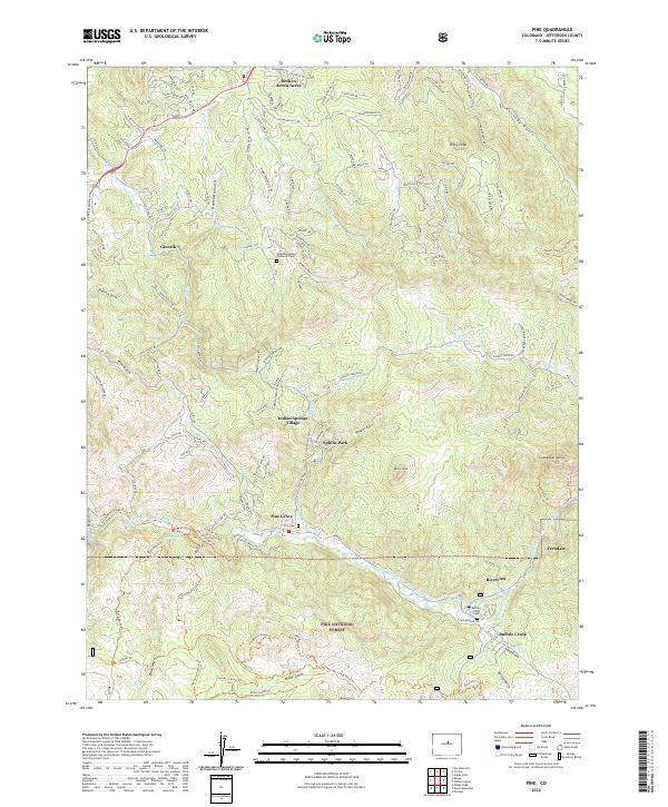
2022 Map of Pine
USGS Topo · Published 2022About this map
Pine Grove sits at the heart of this mountain landscape, positioned along the winding North Fork South Platte River. The settlement pattern reflects a history tied to river access and early transit, with the Narrow Gauge Trl following the riverbank west toward Baehr Reservoir. To the south, Buffalo Creek serves as another focal point for local habitation and remembrance at the Buffalo Creek Cem.
Find a feature on this map
136 named features on this map. Tap any name to fly to it.
Don’t see what you’re looking for? This feature index may not catch every label — zoom into the map to look around manually.
Map Details
Editions of this 2022 Pine Map
This is the sole edition of this map. No revisions or reprints were ever made.
Other maps of this area

1893 · Platte Canyon
USGS Topo · 1:125,000

1899 · West Denver
USGS Topo · 1:125,000

1945 · Indian Hills
USGS Topo · 1:31,680

1945 · Platte Canyon
USGS Topo · 1:24,000

1945 · Pine
USGS Topo · 1:24,000

1945 · Bailey
USGS Topo · 1:24,000

1948 · Pine
USGS Topo · 1:24,000

1948 · Platte Canyon
USGS Topo · 1:24,000

1949 · Bailey
USGS Topo · 1:24,000

1953 · Denver
USGS Topo · 1:250,000