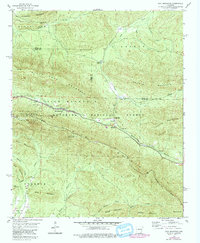
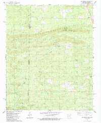
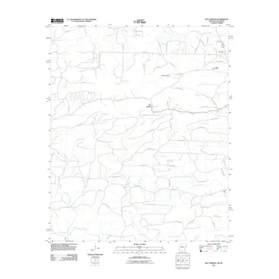
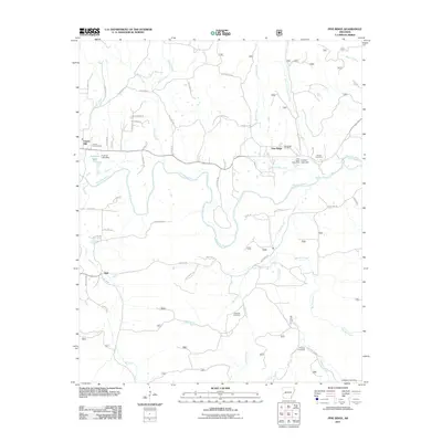
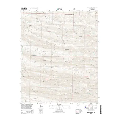
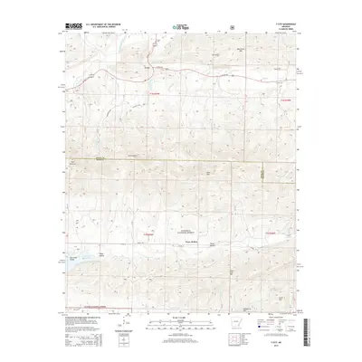
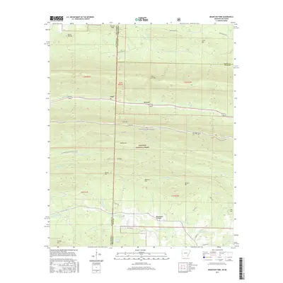
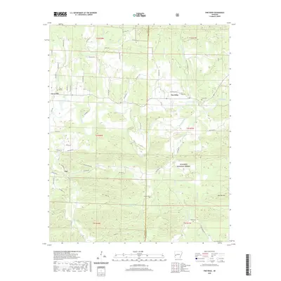
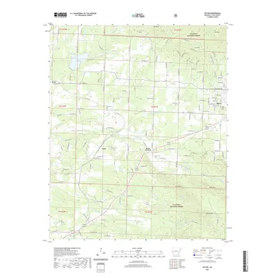
1985 Map of Pine Ridge
USGS Topo · Published 1986About this map
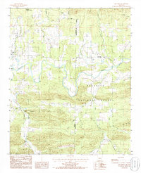
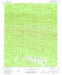
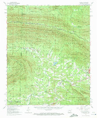
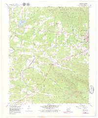
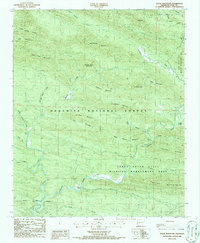
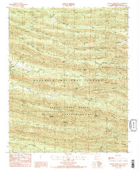
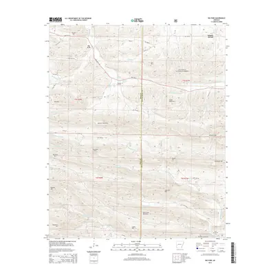
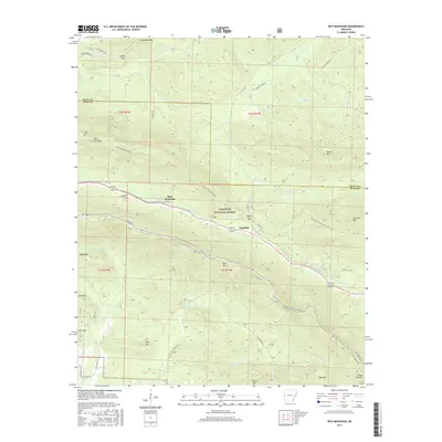
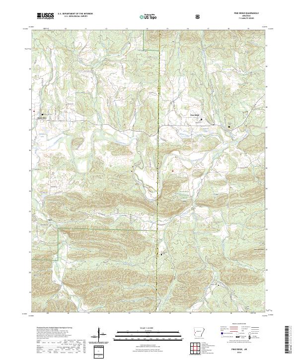
Pine Ridge and Cherry Hill stand as primary settlements along the winding Ouachita River in this mid-1980s provisional study of the Arkansas highlands. The landscape is defined by the extensive reaches of the Ouachita National Forest, where steep terrain is carved by a dense network of waterways including Hole in the Ground Creek, Big Fork, and Sulphur Creek. The map documents the rural infrastructure of the era, showing local roads navigating the topography near Bear Den Mtn and crossing the county line between Polk and Montgomery counties. Genealogists and local historians will find several marked Cem locations scattered across the river valley and forest edges, providing a clear record of family and community sites in this rugged interior region before late-century developments altered the rural character.
Find a feature on this map
22 named features on this map. Tap any name to fly to it.
Don’t see what you’re looking for? This feature index may not catch every label — zoom into the map to look around manually.
Map Details
Editions of this 1985 Pine Ridge Map
This is the sole edition of this map. No revisions or reprints were ever made.
Historical Maps of Pine Ridge Through Time
56 maps found
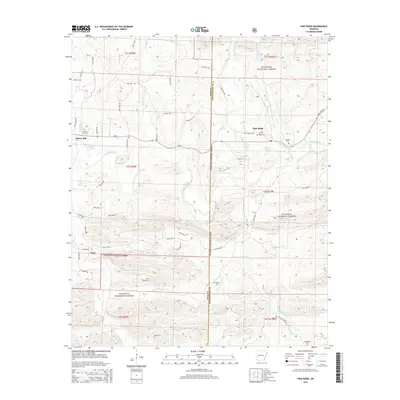
1958 Mountain Fork
Polk County, AR
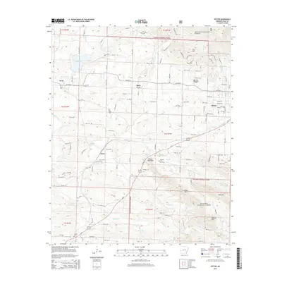
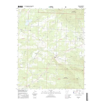
1958 Potter
Polk County, AR
1958 Potter
Polk County, AR
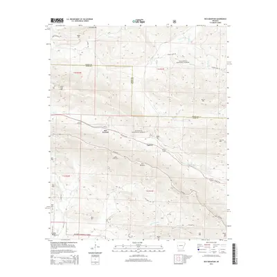
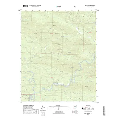
1958 Rich Mountain
Polk County, AR
1958 Y City
Polk County, AR
1959 Umpire
Polk County, AR
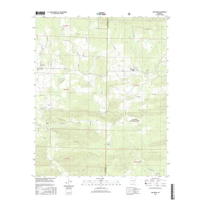
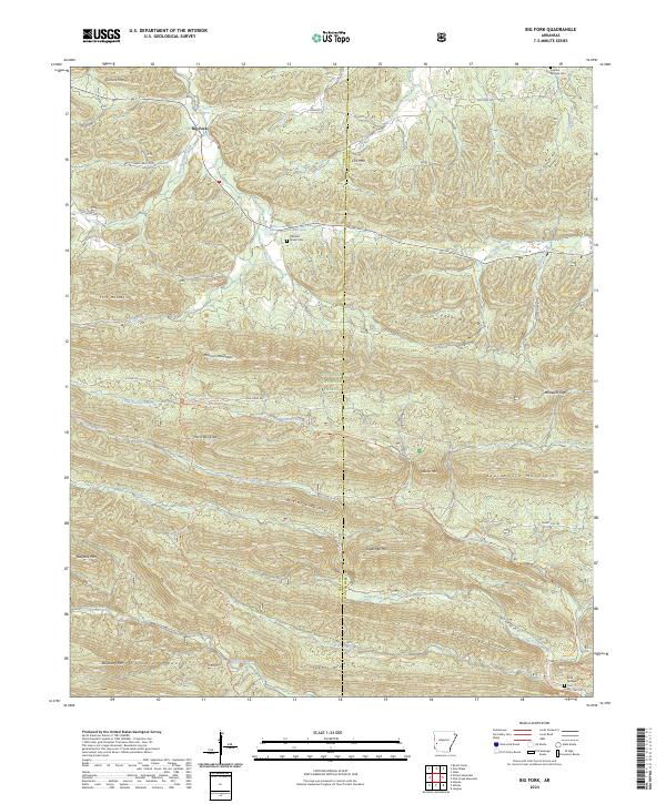
1980 Big Fork
Polk County, AR
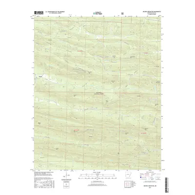
1985 Bog Springs
Polk County, AR
1985 Pine Ridge
Polk County, AR
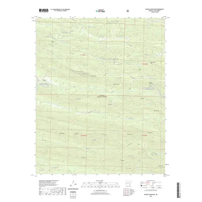
1986 Eagle Mountain
Polk County, AR
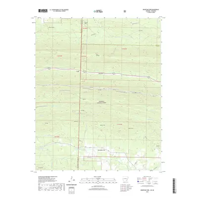
1986 Nichols Mountain
Polk County, AR
2011 Big Fork
Polk County, AR
2011 Bog Springs
Polk County, AR
2011 Eagle Mountain
Polk County, AR
2011 Mountain Fork
Polk County, AR
2011 Nichols Mountain
Polk County, AR
2011 Pine Ridge
Polk County, AR
2011 Potter
Polk County, AR
2011 Rich Mountain
Polk County, AR
2011 Y City
Polk County, AR
2014 Big Fork
Polk County, AR
2014 Bog Springs
Polk County, AR
2014 Eagle Mountain
Polk County, AR
2014 Mountain Fork
Polk County, AR
2014 Nichols Mountain
Polk County, AR
2014 Pine Ridge
Polk County, AR
2014 Potter
Polk County, AR
2014 Rich Mountain
Polk County, AR
2014 Y City
Polk County, AR
2017 Big Fork
Polk County, AR
2017 Bog Springs
Polk County, AR
2017 Eagle Mountain
Polk County, AR
2017 Mountain Fork
Polk County, AR
2017 Nichols Mountain
Polk County, AR
2017 Pine Ridge
Polk County, AR
2017 Potter
Polk County, AR
2017 Rich Mountain
Polk County, AR
2017 Y City
Polk County, AR
2020 Big Fork
Polk County, AR
2020 Bog Springs
Polk County, AR
2020 Eagle Mountain
Polk County, AR
2020 Mountain Fork
Polk County, AR
2020 Nichols Mountain
Polk County, AR
2020 Pine Ridge
Polk County, AR
2020 Potter
Polk County, AR
2020 Rich Mountain
Polk County, AR
2020 Y City
Polk County, AR
2024 Big Fork
Polk County, AR
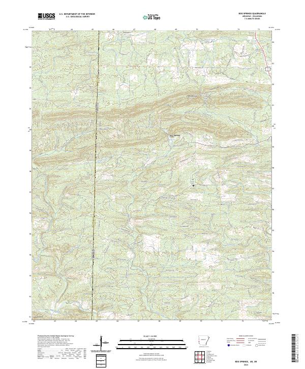
2024 Bog Springs
Polk County, AR
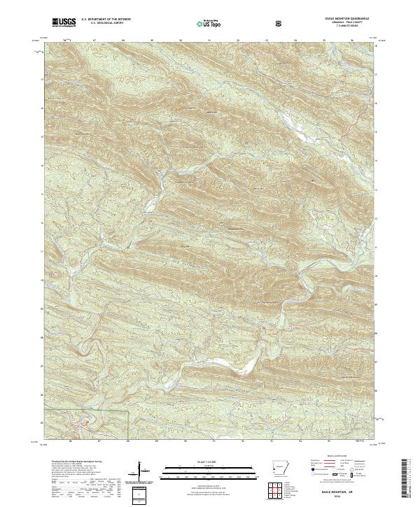
2024 Eagle Mountain
Polk County, AR
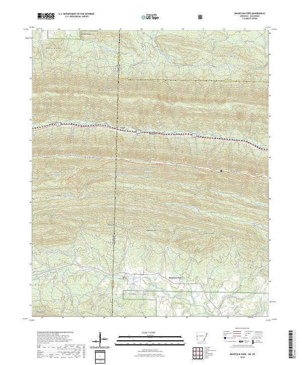
2024 Mountain Fork
Polk County, AR
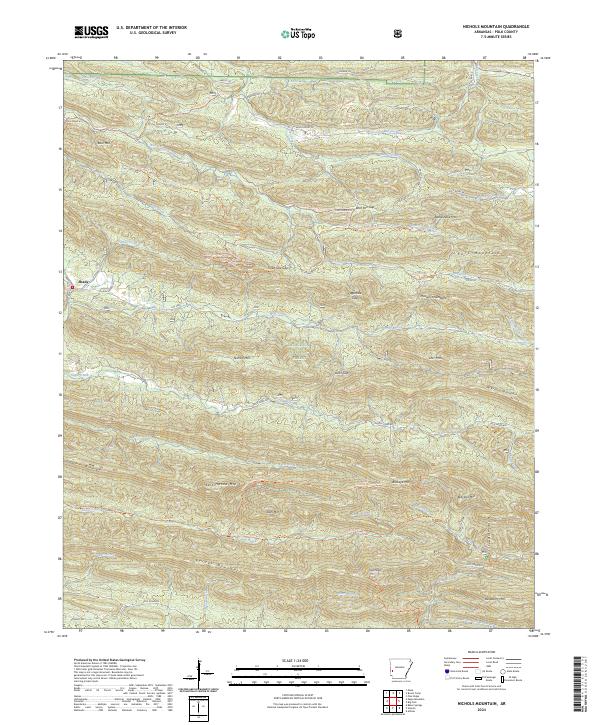
2024 Nichols Mountain
Polk County, AR
2024 Pine Ridge
Polk County, AR
2024 Potter
Polk County, AR
2024 Rich Mountain
Polk County, AR
2024 Y City
Polk County, AR