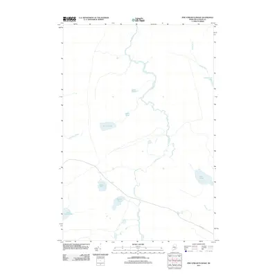
2011 Map of Pine Stream Flowage
USGS Topo · Published 2011About this map
Pine Stream meanders through the North Maine Woods, defining a landscape dominated by water and timber in the early twenty-first century. This region, characterized by its labyrinth of interconnected ponds and brooks, is anchored by the presence of Golden Rd, a vital private hauling road central to the area's forest economy. The map illustrates how water moves across this terrain, from the sprawling northern reaches of Chesuncook Lake to smaller, distinct basins like Salmon Pond and Little Lobster Lake. The density of these water bodies, including Moosehorn Stream and Quaker Brook, suggests a wilderness managed primarily for large-scale forestry, where the topography is shaped as much by these drainage patterns as by the isolated roads that pierce the canopy.
Find a feature on this map
12 named features on this map. Tap any name to fly to it.
Don’t see what you’re looking for? This feature index may not catch every label — zoom into the map to look around manually.
Map Details
Editions of this 2011 Pine Stream Flowage Map
This is the sole edition of this map. No revisions or reprints were ever made.
Other maps of this area

1954 · Chesuncook
USGS Topo · 1:62,500

1954 · North East Carry
USGS Topo · 1:62,500

1954 · Caucomgomoc Lake
USGS Topo · 1:62,500

1954 · Grant Farm
USGS Topo · 1:62,500

1954 · Presque Isle
USGS Topo · 1:250,000

1954 · Millinocket
USGS Topo · 1:250,000

1958 · Presque Isle
USGS Topo · 1:250,000

1958 · Millinocket
USGS Topo · 1:250,000

1958 · Chesuncook
USGS Topo · 1:62,500

1958 · Caucomgomoc Lake
USGS Topo · 1:62,500