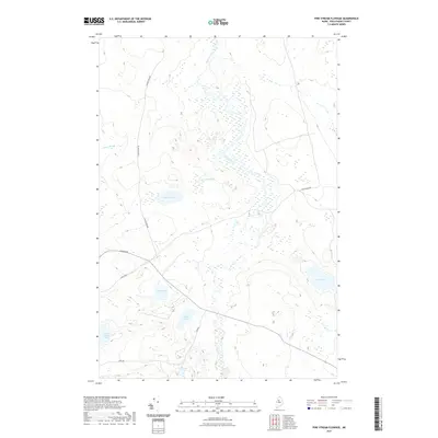
2021 Map of Pine Stream Flowage
USGS Topo · Published 2021About this map
Pine Stream wanders through this wetland-dense region of Piscataquis County, defining a landscape of low-lying flowage and secluded water bodies. The geography is dominated by a complex network of glacial ponds, including the centrally located Grassy Pond and the more remote Deer Pond to the east. Transportation through this timberland is limited to a handful of unpaved routes like the Golden Rd and Salmon Pond Rd, which provide access to the interior for those managing the northern Maine woods.
Find a feature on this map
14 named features on this map. Tap any name to fly to it.
Don’t see what you’re looking for? This feature index may not catch every label — zoom into the map to look around manually.
Map Details
Editions of this 2021 Pine Stream Flowage Map
This is the sole edition of this map. No revisions or reprints were ever made.
Other maps of this area

1954 · Chesuncook
USGS Topo · 1:62,500

1954 · North East Carry
USGS Topo · 1:62,500

1954 · Caucomgomoc Lake
USGS Topo · 1:62,500

1954 · Grant Farm
USGS Topo · 1:62,500

1954 · Presque Isle
USGS Topo · 1:250,000

1954 · Millinocket
USGS Topo · 1:250,000

1958 · Presque Isle
USGS Topo · 1:250,000

1958 · Millinocket
USGS Topo · 1:250,000

1958 · Chesuncook
USGS Topo · 1:62,500

1958 · Caucomgomoc Lake
USGS Topo · 1:62,500