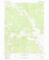
1980 Map of Piney Peak
USGS Topo · Published 1980About this map
The boundary between Summit County and Eagle County runs along the high crest of Elliott Ridge, marking a divide in the wilderness of north-central Colorado. In 1980, this landscape remained largely defined by the overlapping boundaries of the Arapaho National Forest and White River National Forest, where a sparse network of jeep trails and pack trails provided the only access to the interior. The drainage patterns are distinct, with the Piney River cutting through the southern reaches while Sheephorn Creek and Slate Creek dominate the north.
Find a feature on this map
42 named features on this map. Tap any name to fly to it.
Don’t see what you’re looking for? This feature index may not catch every label — zoom into the map to look around manually.
Map Details
Editions of this 1980 Piney Peak Map
3 editions found
Other maps of this area

1933 · Mt. Powell
USGS Topo · 1:48,000

1934 · Minturn
USGS Topo · 1:62,500

1940 · Mount Powell
USGS Topo · 1:62,500

1950 · Minturn
USGS Topo · 1:62,500

1957 · Leadville
USGS Topo · 1:250,000

1959 · Leadville
USGS Topo · 1:250,000

1960 · Leadville
USGS Topo · 1:250,000

1962 · Leadville
USGS Topo · 1:250,000

1962 · Edwards
USGS Topo · 1:24,000

1964 · Leadville
USGS Topo · 1:250,000