
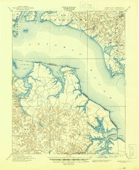
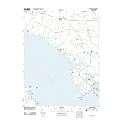
1892 Map of Piney Point
USGS Topo · Published 1892About this map
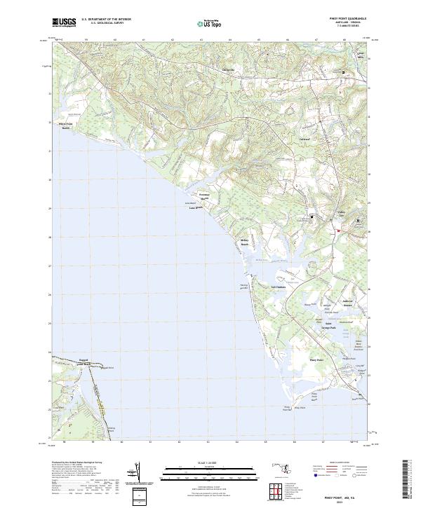
The Potomac River dominates this late nineteenth-century coastal survey, separating the shores of St. Mary County, Maryland, from the Northern Neck of Virginia. On the Virginia side, the map records the rural landscape of Westmoreland and Northumberland counties, where small landings and crossroads communities like Kinsale and Hague served the local tobacco and timber economy. A vital transit point is marked at Mount Holly (Nomini Ferry), where travelers crossed Nomini Creek.
Find a feature on this map
58 named features on this map. Tap any name to fly to it.
Don’t see what you’re looking for? This feature index may not catch every label — zoom into the map to look around manually.
Map Details
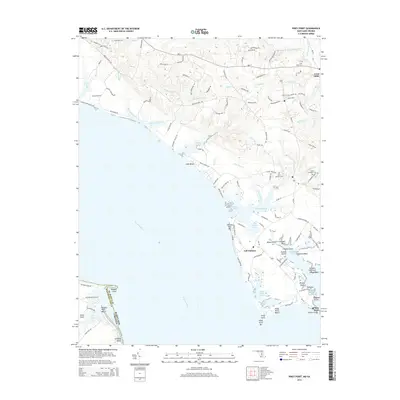
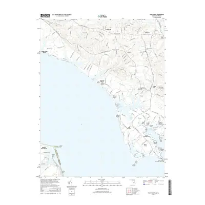
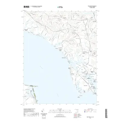
Editions of this 1892 Piney Point Map
This is the sole edition of this map. No revisions or reprints were ever made.
Historical Maps of Lexington Park Through Time
12 maps found
1892 Piney Point
St. Mary's County, MD

1894 Piney Point
St. Mary's County, MD

1895 Piney Point
St. Mary's County, MD
1901 Piney Point
St. Mary's County, MD
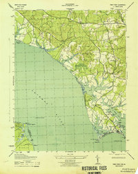
1943 Piney Point
St. Mary's County, MD
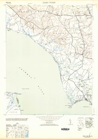
1953 Piney Point
St. Mary's County, MD
1968 Piney Point
St. Mary's County, MD
2011 Piney Point
St. Mary's County, MD
2014 Piney Point
St. Mary's County, MD
2016 Piney Point
St. Mary's County, MD
2019 Piney Point
St. Mary's County, MD
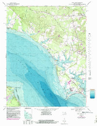
2023 Piney Point
St. Mary's County, MD