
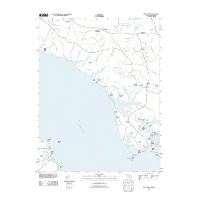
1894 Map of Piney Point
USGS Topo · Published 1894About this map
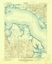
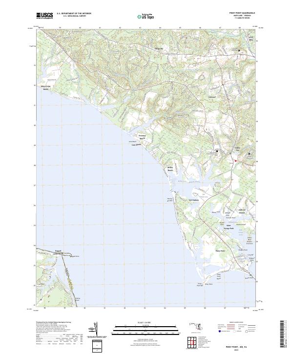
Potomac River maritime traffic and tobacco-country crossroads define this 1890s survey of the Tidewater region. The map captures a transition point between St. Mary County in Maryland and the Northern Neck of Virginia, including Westmoreland and Northumberland counties. Waterways like the Lower Machodoc River and Yeocomico River serve as the primary conduits for commerce, reaching deep into the interior to landings near Kinsale and Machodoc. On the Virginia side, the prominent Mount Holly (Nomini Ferry) indicates the vital river crossings of the era. The shoreline is punctuated by navigation aids and landmarks such as the L.H. at Piney Point and the isolated Blackistone Id. further upstream. Inland, small agricultural hubs like Hague, Nomini Grove, and Tucker Hill are connected by a web of primitive roads, reflecting the post-Reconstruction rural economy before the arrival of modern bridges.
Find a feature on this map
56 named features on this map. Tap any name to fly to it.
Don’t see what you’re looking for? This feature index may not catch every label — zoom into the map to look around manually.
Map Details
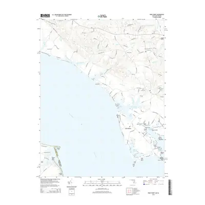
Editions of this 1894 Piney Point Map
This is the sole edition of this map. No revisions or reprints were ever made.
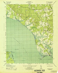
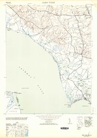
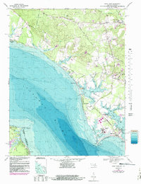
Historical Maps of Lexington Park Through Time
12 maps found

1892 Piney Point
St. Mary's County, MD
1894 Piney Point
St. Mary's County, MD

1895 Piney Point
St. Mary's County, MD
1901 Piney Point
St. Mary's County, MD
1943 Piney Point
St. Mary's County, MD
1953 Piney Point
St. Mary's County, MD
1968 Piney Point
St. Mary's County, MD
2011 Piney Point
St. Mary's County, MD
2014 Piney Point
St. Mary's County, MD
2016 Piney Point
St. Mary's County, MD
2019 Piney Point
St. Mary's County, MD
2023 Piney Point
St. Mary's County, MD