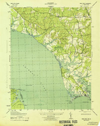
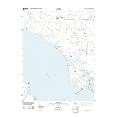
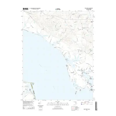
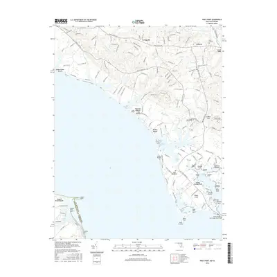
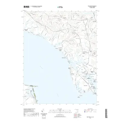
1943 Map of Piney Point
USGS Topo · Published 1943About this map
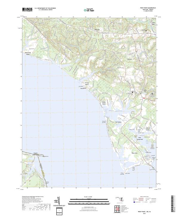
The Potomac River shorelines of St. Mary's County are documented here during the mobilization of the early 1940s. While established communities like Valley Lee, Chingville, and Tall Timbers anchor the inland landscape, the coastal edge reflects a strategic maritime and aviation presence. Along the river, the Piney Point Lighthouse and Ragged Point Lighthouse guide vessels toward the St Marys River, while the inclusion of an Emergency Landing Field near Piney Point signals the era's military requirements.
Find a feature on this map
73 named features on this map. Tap any name to fly to it.
Don’t see what you’re looking for? This feature index may not catch every label — zoom into the map to look around manually.
Map Details
Editions of this 1943 Piney Point Map
This is the sole edition of this map. No revisions or reprints were ever made.
Historical Maps of Lexington Park Through Time
12 maps found

1892 Piney Point
St. Mary's County, MD

1894 Piney Point
St. Mary's County, MD

1895 Piney Point
St. Mary's County, MD
1901 Piney Point
St. Mary's County, MD
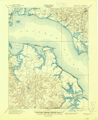
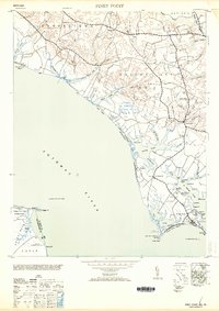
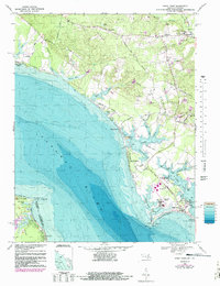
1943 Piney Point
St. Mary's County, MD
1953 Piney Point
St. Mary's County, MD
1968 Piney Point
St. Mary's County, MD
2011 Piney Point
St. Mary's County, MD
2014 Piney Point
St. Mary's County, MD
2016 Piney Point
St. Mary's County, MD
2019 Piney Point
St. Mary's County, MD
2023 Piney Point
St. Mary's County, MD