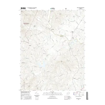
2016 Map of Piney River
USGS Topo · Published 2016About this map
Lowesville sits at the heart of this landscape where the Little Piney River and Indian Cr converge, marking a transition from the elevated peaks of the George Washington National Forest into the farming valleys of Central Virginia. The map reveals a high density of family-named burial sites, including the Campbell Cem, Mays Cem, and Harewood Cem, which serve as vital markers for genealogical research in this rural pocket.
Find a feature on this map
128 named features on this map. Tap any name to fly to it.
Don’t see what you’re looking for? This feature index may not catch every label — zoom into the map to look around manually.
Map Details
Editions of this 2016 Piney River Map
This is the sole edition of this map. No revisions or reprints were ever made.
Other maps of this area

1892 · Buckingham
USGS Topo · 1:125,000

1894 · Lexington
USGS Topo · 1:125,000

1935 · Amherst
USGS Topo · 1:48,000

1936 · Vesuvius
USGS Topo · 1:48,000

1939 · Amherst
USGS Topo · 1:62,500

1941 · Vesuvius
USGS Topo · 1:62,500

1943 · Lovingston
USGS Topo · 1:62,500

1946 · Lovingston
USGS Topo · 1:62,500

1947 · Roanoke
USGS Topo · 1:250,000

1950 · Amherst
USGS Topo · 1:62,500