
1963 Map of Pink Mountain
USGS Topo · Published 1966About this map
Pink Mountain and Big Creek Baldy Mountain dominate this section of the Kootenai National Forest in northwest Montana. The 1963 field survey documents a high-altitude landscape defined by a complex drainage network, where the headwaters of East Fork Pipe Creek and Big Creek carve through steep terrain. A lone Lookout Tower on Big Creek Baldy Mountain stands as a sentinel over the surrounding wilderness, connected to the lower valleys by a dedicated Pack Trail. The naming of local water bodies like Deception Creek, Zutu Creek, and Beulah Creek reflects the character of the early mountain surveys and the isolation of these drainage basins. This map is particularly useful for identifying the specific topography surrounding the Horse Lakes before modern recreation and fire management significantly altered the backcountry infrastructure.
Find a feature on this map
19 named features on this map. Tap any name to fly to it.
Don’t see what you’re looking for? This feature index may not catch every label — zoom into the map to look around manually.
Map Details
Editions of this 1963 Pink Mountain Map
This is the sole edition of this map. No revisions or reprints were ever made.
Other maps of this area

1957 · Kalispell
USGS Topo · 1:250,000

1960 · Kalispell
USGS Topo · 1:250,000

1961 · Kalispell
USGS Topo · 1:250,000

1963 · Yaak
USGS Topo · 1:24,000

1963 · Turner Mountain
USGS Topo · 1:24,000

1963 · Banfield Mountain
USGS Topo · 1:24,000

1963 · Boulder Lakes
USGS Topo · 1:24,000
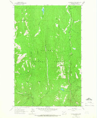
1963 · Flatiron Mountain
USGS Topo · 1:24,000

1963 · Lost Horse Mountain
USGS Topo · 1:24,000
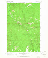
1963 · Gold Hill
USGS Topo · 1:24,000