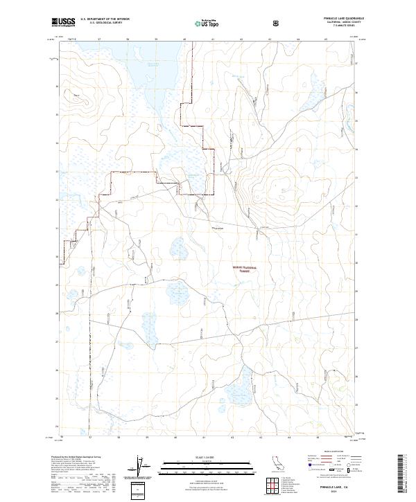
2021 Map of Pinnacle Lake
USGS Topo · Published 2021About this map
Clear Lake National Wildlife Refuge and the Modoc National Forest converge in this high-desert basin of northeastern California. This survey illustrates a landscape where seasonal water and managed land dominate, centered on the expansive Clear Lake Reservoir. Drainage is defined by the intermittent flows of Mowitz Creek, which winds southward toward Pinnacle Lake. The terrain is marked by distinct volcanic and shoreline features, such as the Bump Heads and a unique formation known as The U. Other vital water sources for local wildlife and livestock appear as small catchments and springs, including Barry Tank, Red Lake, and the specifically named Negro Bend Spring. The grid of the Public Land Survey System provides the primary structural framework across this largely uninhabited territory.
Find a feature on this map
18 named features on this map. Tap any name to fly to it.
Don’t see what you’re looking for? This feature index may not catch every label — zoom into the map to look around manually.
Map Details
Editions of this 2021 Pinnacle Lake Map
This is the sole edition of this map. No revisions or reprints were ever made.
Other maps of this area

1886 · Alturas
USGS Topo · 1:250,000

1886 · Modoc Lava Bed
USGS Topo · 1:250,000

1892 · Modoc Lava-Bed
USGS Topo · 1:250,000

1892 · Alturas
USGS Topo · 1:250,000

1951 · Clear Lake Reservoir
USGS Topo · 1:62,500

1952 · Hackamore
USGS Topo · 1:62,500

1954 · Alturas
USGS Topo · 1:250,000

1958 · Alturas
USGS Topo · 1:250,000

1962 · Alturas
USGS Topo · 1:250,000

1962 · Steele Swamp
USGS Topo · 1:62,500