2021 Map of Pinon
USGS Topo · Published 2021About this map
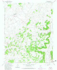
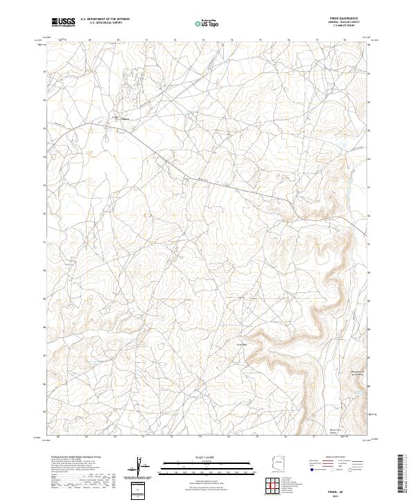
Pinon serves as the central settlement in this high desert landscape of Navajo County, positioned at the convergence of several regional routes including Indian Rte 41 and Indian Rte 8030. The topography is defined by significant elevations like First Mesa and Whippoorwill Spring Mesa, which overlook the broader Burnt Corn Valley. This 2021 survey reveals a landscape where water is a critical but sparse resource, evidenced by the scattered locations of Crow Spring, Whippoorwill Spring, and Toh Ha Hao Cheen. Drainage patterns are primarily defined by the Burnt Corn Wash, which cuts through the northeastern reaches. The map documents the persistent road network of the Navajo Reservation, showing how modern transit lines like Indian Rte 4 follow the natural contours of the mesas and valleys that have dictated movement through this region for generations.
Find a feature on this map
20 named features on this map. Tap any name to fly to it.
Don’t see what you’re looking for? This feature index may not catch every label — zoom into the map to look around manually.
Map Details
Editions of this 2021 Pinon Map
This is the sole edition of this map. No revisions or reprints were ever made.