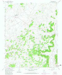
1967 Map of Pinon
USGS Topo · Published 1983About this map
Pinon stands as a central community within the Navajo Indian Reservation, serving as a focal point for activity with its Rodeo Grounds, schools, and a local Landing Strip. The terrain is defined by the significant rise of First Mesa to the south, where the desert floor gives way to complex drainage patterns and canyon systems. Water management is vital to life in this high desert environment, evidenced by the presence of Sagebrush Well, Croc Spr, and various tanks distributed across the landscape.
Find a feature on this map
17 named features on this map. Tap any name to fly to it.
Don’t see what you’re looking for? This feature index may not catch every label — zoom into the map to look around manually.
Map Details
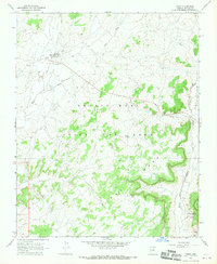
Editions of this 1967 Pinon Map
2 editions found
Other maps of this area

1883 · Marsh Pass
USGS Topo · 1:250,000

1883 · Tusayan
USGS Topo · 1:250,000

1886 · Tusayan
USGS Topo · 1:250,000

1892 · Marsh Pass
USGS Topo · 1:250,000

1947 · Flagstaff
USGS Topo · 1:250,000

1954 · Flagstaff
USGS Topo · 1:250,000

1956 · Marble Canyon
USGS Topo · 1:250,000

1958 · Flagstaff
USGS Topo · 1:250,000

1959 · Marble Canyon
USGS Topo · 1:250,000

1960 · Flagstaff
USGS Topo · 1:250,000