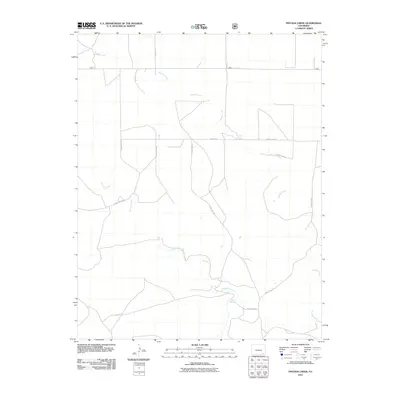
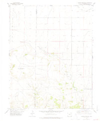
2011 Map of Pintada Creek
USGS Topo · Published 2011About this map
Pintada Creek and Tecolote Creek define the drainage patterns of this rural Las Animas County landscape, where water remains the primary shaper of the terrain. The map captures a transition in the local infrastructure during the early twenty-first century, showing a network of rural routes such as County Rd 219 and Co Rd 30.0 that segment the open country. A notable point of interest is Dripping Springs, a specific water feature in an otherwise arid expanse. The arrangement of these roads and the branching paths of the creeks suggest a region dedicated to large-scale ranching or land management, where named landmarks are few and centered on essential natural resources.
Find a feature on this map
13 named features on this map. Tap any name to fly to it.
Don’t see what you’re looking for? This feature index may not catch every label — zoom into the map to look around manually.
Map Details
Editions of this 2011 Pintada Creek Map
This is the sole edition of this map. No revisions or reprints were ever made.
Other maps of this area

1892 · Mt Carrizo
USGS Topo · 1:125,000

1955 · La Junta
USGS Topo · 1:250,000

1958 · La Junta
USGS Topo · 1:250,000

1968 · La Junta
USGS Topo · 1:250,000
1978 · Furnish Canyon East
USGS Topo · 1:24,000

1978 · Pintada Creek
USGS Topo · 1:24,000

1978 · Utleyville
USGS Topo · 1:24,000
1978 · Furnish Canyon West
USGS Topo · 1:24,000
1978 · Dennis Canyon
USGS Topo · 1:24,000
1978 · Carrizo Mountain
USGS Topo · 1:24,000