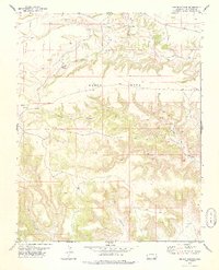
1978 Map of Pintada Creek
USGS Topo · Published 1978About this map
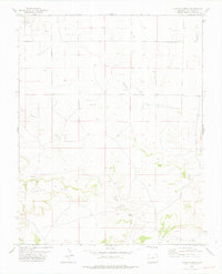
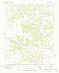
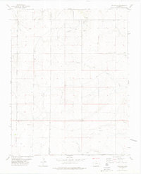
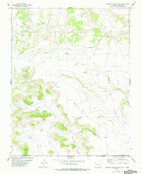
Pintada Creek and Tecolote Creek carve through the high plains of Las Animas County in this 1970s land study. The map illustrates a landscape of intermittent drainage and significant topographical relief, dominated by the broad elevation of Tecolote Mesa in the southwest and the rising slopes of Carrizo Mountain to the east. Human presence is sparse, marked primarily by a network of ranching roads, a Jeep Trail, and isolated infrastructure such as a Well. Resource extraction is evident at the Gravel Pits located near the northern township line. Geologists and local researchers will find interest in the precise locations of water sources like Dripping Springs and the drainage patterns of Dripping Springs Creek as they flow toward Baldy Canyon, providing a clear record of the watershed before modern land-use changes.
Find a feature on this map
13 named features on this map. Tap any name to fly to it.
Don’t see what you’re looking for? This feature index may not catch every label — zoom into the map to look around manually.
Map Details
Editions of this 1978 Pintada Creek Map
This is the sole edition of this map. No revisions or reprints were ever made.
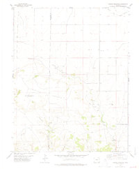
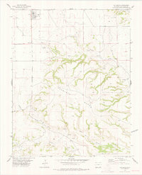
Other maps of this area

1892 · Mt Carrizo
USGS Topo · 1:125,000

1955 · La Junta
USGS Topo · 1:250,000

1958 · La Junta
USGS Topo · 1:250,000

1968 · La Junta
USGS Topo · 1:250,000
1978 · Furnish Canyon East
USGS Topo · 1:24,000
1978 · Utleyville
USGS Topo · 1:24,000
1978 · Furnish Canyon West
USGS Topo · 1:24,000
1978 · Dennis Canyon
USGS Topo · 1:24,000
1978 · Carrizo Mountain
USGS Topo · 1:24,000
1978 · Kim South
USGS Topo · 1:24,000