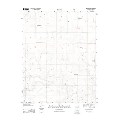
2013 Map of Pintada Creek
USGS Topo · Published 2013About this map
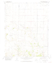
Comanche National Grassland dominates this section of Las Animas County, showing a landscape defined by sharp elevation shifts and winding drainages. The map reveals a rugged topography where high plateaus like Tecolote Mesa and prominent peaks like Mount Carrizo overlook the carved paths of Pintada Cr and Tecolote Cr. This southeastern Colorado terrain is sparsely inhabited, marked primarily by a network of county roads such as Co Rd 219 and Co Rd 20.6 that follow the natural contours of the land. The presence of Dripping Springs and the deep cut of Baldy Canyon highlights the critical role of water sources and erosion in shaping the character of this high-plains grassland environment.
Find a feature on this map
17 named features on this map. Tap any name to fly to it.
Don’t see what you’re looking for? This feature index may not catch every label — zoom into the map to look around manually.
Map Details
Editions of this 2013 Pintada Creek Map
This is the sole edition of this map. No revisions or reprints were ever made.
Other maps of this area

1892 · Mt Carrizo
USGS Topo · 1:125,000

1955 · La Junta
USGS Topo · 1:250,000

1958 · La Junta
USGS Topo · 1:250,000

1968 · La Junta
USGS Topo · 1:250,000
1978 · Furnish Canyon East
USGS Topo · 1:24,000

1978 · Pintada Creek
USGS Topo · 1:24,000

1978 · Utleyville
USGS Topo · 1:24,000
1978 · Furnish Canyon West
USGS Topo · 1:24,000
1978 · Dennis Canyon
USGS Topo · 1:24,000
1978 · Carrizo Mountain
USGS Topo · 1:24,000