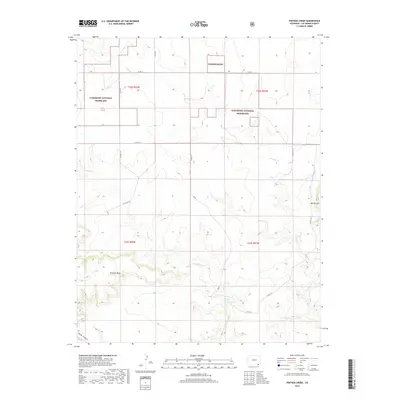
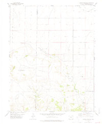
2019 Map of Pintada Creek
USGS Topo · Published 2019About this map
Comanche National Grassland dominates the high plains landscape of Las Animas County in this 2019 survey, illustrating the vast open reaches of the Colorado backcountry. The terrain is defined by the winding paths of Pintada Creek and Tecolate Creek, which carve through the plateau. Significant landforms like Tecolate Mesa and Mt Carrizo stand as prominent landmarks above the drainage networks. A sparse system of county roads, including Co RD 34 and Co RD 219, provides access to these isolated sections, where Dripping Springs and Baldy Canyon offer specific points of interest for those studying the physical geography or land use within these public grasslands.
Find a feature on this map
22 named features on this map. Tap any name to fly to it.
Don’t see what you’re looking for? This feature index may not catch every label — zoom into the map to look around manually.
Map Details
Editions of this 2019 Pintada Creek Map
This is the sole edition of this map. No revisions or reprints were ever made.
Other maps of this area

1892 · Mt Carrizo
USGS Topo · 1:125,000

1955 · La Junta
USGS Topo · 1:250,000

1958 · La Junta
USGS Topo · 1:250,000

1968 · La Junta
USGS Topo · 1:250,000
1978 · Furnish Canyon East
USGS Topo · 1:24,000

1978 · Pintada Creek
USGS Topo · 1:24,000

1978 · Utleyville
USGS Topo · 1:24,000
1978 · Furnish Canyon West
USGS Topo · 1:24,000
1978 · Dennis Canyon
USGS Topo · 1:24,000
1978 · Carrizo Mountain
USGS Topo · 1:24,000