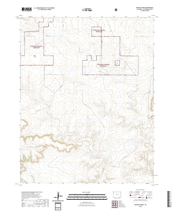
2022 Map of Pintada Creek
USGS Topo · Published 2022About this map
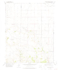
Comanche National Grassland preserves a vast expanse of shortgrass prairie in Las Animas County, where the high plains transition into complex drainages. The landscape is defined by the prominent Tecolate Mesa and the deep cut of Baldy Canyon to the southwest. Water sources are scarce but significant, including the intermittent flows of Tecolate Cr and Pintada Cr, along with the localized relief of Dripping Springs. A sparse network of county roads, such as Co Rd 34 and Co Rd 211, provides access across the township and range lines. This modern topographic survey by the U.S. Geological Survey illustrates the enduring rural character of southeastern Colorado, showing the relationship between elevation, drainage patterns, and the historic land grid system that still dictates the layout of the grassland today.
Find a feature on this map
20 named features on this map. Tap any name to fly to it.
Don’t see what you’re looking for? This feature index may not catch every label — zoom into the map to look around manually.
Map Details
Editions of this 2022 Pintada Creek Map
This is the sole edition of this map. No revisions or reprints were ever made.
Other maps of this area

1892 · Mt Carrizo
USGS Topo · 1:125,000

1955 · La Junta
USGS Topo · 1:250,000

1958 · La Junta
USGS Topo · 1:250,000

1968 · La Junta
USGS Topo · 1:250,000
1978 · Furnish Canyon East
USGS Topo · 1:24,000

1978 · Pintada Creek
USGS Topo · 1:24,000

1978 · Utleyville
USGS Topo · 1:24,000
1978 · Furnish Canyon West
USGS Topo · 1:24,000
1978 · Dennis Canyon
USGS Topo · 1:24,000
1978 · Carrizo Mountain
USGS Topo · 1:24,000