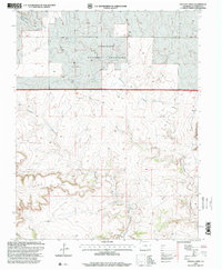
1996 Map of Pintada Creek
USGS Topo · Published 2000About this map
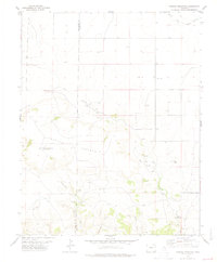
Comanche National Grassland dominates this portion of Las Animas County, showing a landscape defined by dramatic topographical shifts and drainage networks. The terrain is anchored by the prominent Tecolote Mesa in the southwest, while Carrizo Mountain rises to the southeast. Water sources are critical features in this arid environment, marked by the namesake Pintada Creek and Tecolote Creek, along with specific seasonal or permanent water points like Dripping Springs and various unnamed Springs. These watercourses likely dictated the historical movement of livestock and early settlement patterns across the plains. Human activity is noted through scattered Well sites and Gravel Pits, while a network of 4wd tracks provides the primary access through the canyons, including the steep-walled Baldy Canyon.
Find a feature on this map
15 named features on this map. Tap any name to fly to it.
Don’t see what you’re looking for? This feature index may not catch every label — zoom into the map to look around manually.
Map Details
Editions of this 1996 Pintada Creek Map
This is the sole edition of this map. No revisions or reprints were ever made.
Other maps of this area

1892 · Mt Carrizo
USGS Topo · 1:125,000

1955 · La Junta
USGS Topo · 1:250,000

1958 · La Junta
USGS Topo · 1:250,000

1968 · La Junta
USGS Topo · 1:250,000
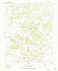
1978 · Furnish Canyon East
USGS Topo · 1:24,000

1978 · Pintada Creek
USGS Topo · 1:24,000

1978 · Utleyville
USGS Topo · 1:24,000
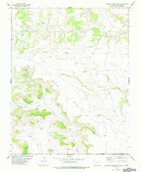
1978 · Furnish Canyon West
USGS Topo · 1:24,000
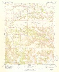
1978 · Dennis Canyon
USGS Topo · 1:24,000
1978 · Carrizo Mountain
USGS Topo · 1:24,000