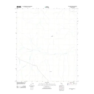
2012 Map of Pinto Mountain
USGS Topo · Published 2012About this map
Pinto Mountain anchors this arid landscape in Riverside County, rising above a network of dry watercourses that define the local drainage patterns. The vast expanse of Turkey Flat dominates the southeastern portion of the map, illustrating the characteristic desert topography of the region. This 2012 survey reveals a terrain shaped by episodic water flow, with major channels such as Pinto Wash, Fried Liver Wash, and Washington Wash converging as they move across the basin. Human infrastructure is limited to the corridor of Pinto Basin Rd, which cuts through the southwestern corner, providing the primary access point to this undeveloped desert environment. The map effectively documents the intersection of geology and hydrology, showing how ancient alluvial processes have carved out the washes that today are the most prominent markers of the landscape.
Find a feature on this map
6 named features on this map. Tap any name to fly to it.
Don’t see what you’re looking for? This feature index may not catch every label — zoom into the map to look around manually.
Map Details
Editions of this 2012 Pinto Mountain Map
This is the sole edition of this map. No revisions or reprints were ever made.
Other maps of this area

1942 · Amboy
USGS Topo · 1:250,000

1943 · Amboy
USGS Topo · 1:250,000

1943 · Pinkham Well
USGS Topo · 1:62,500

1944 · Pinkham Well
USGS Topo · 1:62,500

1944 · Eagle Tank
USGS Topo · 1:62,500

1954 · Salton Sea
USGS Topo · 1:250,000

1954 · Needles
USGS Topo · 1:250,000

1955 · Salton Sea
USGS Topo · 1:250,000

1956 · Needles
USGS Topo · 1:250,000

1956 · Dale Lake
USGS Topo · 1:62,500