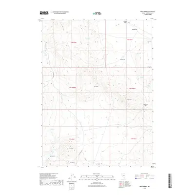
2018 Map of Pinto Springs
USGS Topo · Published 2018About this map
Pinto Springs and a series of high-desert water sources define this arid landscape in Washoe County, where the terrain transitions from the Pinto Peak Range down through the complex formations of The Buttes. This high-altitude region relies on a network of isolated springs and reservoirs, including Boulder Reservoir and Black Rock Reservoir, to sustain life and livestock.
Find a feature on this map
34 named features on this map. Tap any name to fly to it.
Don’t see what you’re looking for? This feature index may not catch every label — zoom into the map to look around manually.
Map Details
Editions of this 2018 Pinto Springs Map
This is the sole edition of this map. No revisions or reprints were ever made.
Other maps of this area

1889 · Long Valley
USGS Topo · 1:250,000

1954 · Vya
USGS Topo · 1:250,000

1958 · Vya
USGS Topo · 1:250,000

1962 · Vya
USGS Topo · 1:250,000

1978 · Hart Mountain
USGS Topo · 1:24,000
1979 · Powers Well
USGS Topo · 1:24,000
1979 · Nellie Spring Mtn
USGS Topo · 1:24,000
1979 · Boulder Lake
USGS Topo · 1:24,000
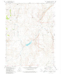
1979 · Wall Canyon Reservoir
USGS Topo · 1:24,000
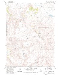
1979 · Boulder Mtn.
USGS Topo · 1:24,000