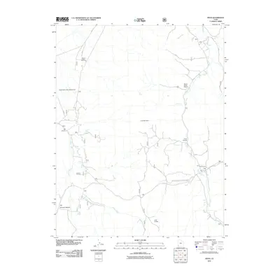
2011 Map of Pinto
USGS Topo · Published 2011About this map
Mountain Meadow and the settlement of Pinto anchor this corner of southwest Utah, documented by the U.S. Geological Survey in the early 21st century. The landscape is defined by its memorial sites and historical springs, including the Jefferson Hunt Monument and the Death Valley Party Monument, which speak to the area's role as a waypoint for 19th-century pioneers. Topography is marked by deep drainage systems such as Pinto Creek and Spring Creek, alongside prominent rises like Cove Mountain. Genealogy researchers can find the locations of both the Pinto Cemetery and Hamblin Cemetery. The road network connects these historic sites via W Pinto Rd, while Numerous water sources like Hamblin Spring and Oak Spring suggest the pastoral and survival needs of early settlers in this high-desert terrain.
Find a feature on this map
22 named features on this map. Tap any name to fly to it.
Don’t see what you’re looking for? This feature index may not catch every label — zoom into the map to look around manually.
Map Details
Editions of this 2011 Pinto Map
This is the sole edition of this map. No revisions or reprints were ever made.
Other maps of this area

1885 · St. George
USGS Topo · 1:250,000

1891 · St. George
USGS Topo · 1:250,000

1950 · Iron Mountain
USGS Topo · 1:62,500

1950 · Silver Peak
USGS Topo · 1:24,000

1950 · Page Ranch
USGS Topo · 1:24,000

1951 · Silver Peak
USGS Topo · 1:24,000

1951 · Page Ranch
USGS Topo · 1:24,000

1953 · Cedar City
USGS Topo · 1:250,000

1957 · New Harmony
USGS Topo · 1:62,500

1958 · Cedar City
USGS Topo · 1:250,000