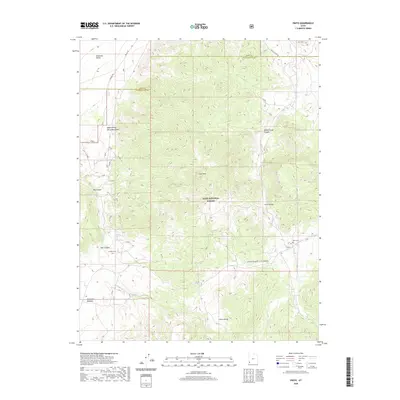
2020 Map of Pinto
USGS Topo · Published 2020About this map
Mountain Meadow serves as a significant historical focal point on this map of southwestern Utah, marking a landscape defined by pioneer transit and early settlement. The geography is characterized by the transition from the high elevations of Cove Mtn and the Dixie National Forest down toward the Escalante Valley. Historical transit routes are well-represented, including the path of the Spanish Trl and the Death Valley Party Monument, which commemorate the difficult journeys of early westward travelers through these high-desert corridors.
Find a feature on this map
26 named features on this map. Tap any name to fly to it.
Don’t see what you’re looking for? This feature index may not catch every label — zoom into the map to look around manually.
Map Details
Editions of this 2020 Pinto Map
This is the sole edition of this map. No revisions or reprints were ever made.
Other maps of this area

1885 · St. George
USGS Topo · 1:250,000

1891 · St. George
USGS Topo · 1:250,000

1950 · Iron Mountain
USGS Topo · 1:62,500

1950 · Silver Peak
USGS Topo · 1:24,000

1950 · Page Ranch
USGS Topo · 1:24,000

1951 · Silver Peak
USGS Topo · 1:24,000

1951 · Page Ranch
USGS Topo · 1:24,000

1953 · Cedar City
USGS Topo · 1:250,000

1957 · New Harmony
USGS Topo · 1:62,500

1958 · Cedar City
USGS Topo · 1:250,000