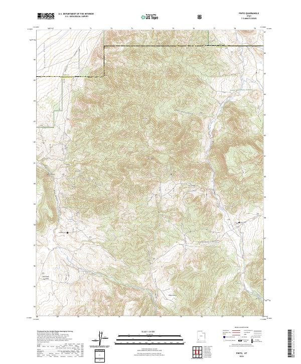
2023 Map of Pinto
USGS Topo · Published 2023About this map
Mountain Meadow and the surrounding high desert terrain anchor this study of the southwest corner of the Dixie National Forest. This section of Washington County preserves the sites of early Mormon pioneer outposts, notably the settlement at Hamblin and its nearby Hamblin Cem. The landscape is defined by the sharp transition between the Escalante Valley and the uplift of Cove Mtn, with numerous drainages like Pinto Creek and Meadow Valley Wash carving through the plateau. Local history is etched into the road network, including the Spanish Rl and the Mountain Meadows to New Harmony Rd, tracing routes used for generations. Springs such as Hyatt Spring and Cove Spring appear as vital water sources in this arid environment, supporting the livestock and ranching activities that have long characterized the region.
Find a feature on this map
25 named features on this map. Tap any name to fly to it.
Don’t see what you’re looking for? This feature index may not catch every label — zoom into the map to look around manually.
Map Details
Editions of this 2023 Pinto Map
This is the sole edition of this map. No revisions or reprints were ever made.
Other maps of this area

1885 · St. George
USGS Topo · 1:250,000

1891 · St. George
USGS Topo · 1:250,000

1950 · Iron Mountain
USGS Topo · 1:62,500

1950 · Silver Peak
USGS Topo · 1:24,000

1950 · Page Ranch
USGS Topo · 1:24,000

1951 · Silver Peak
USGS Topo · 1:24,000

1951 · Page Ranch
USGS Topo · 1:24,000

1953 · Cedar City
USGS Topo · 1:250,000

1957 · New Harmony
USGS Topo · 1:62,500

1958 · Cedar City
USGS Topo · 1:250,000