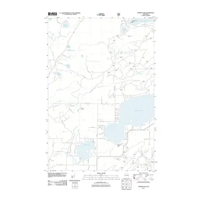
2011 Map of Pioneer Lake
USGS Topo · Published 2011About this map
Lac Vieux Desert and the headwaters of the Wisconsin River dominate this northern lakeland landscape on the edge of the Nicolet National Frst. The map illustrates a dense network of water bodies, from the expansive North Twin Lake to smaller basins like Pioneer Lake and Lac des Fleurs. This 2011 survey documents a region defined by its hydrography and forestry, where managed waterways are controlled by structures such as the Lac Vieux Desert Dam and the Twin Lakes 2WP264 Dam. Local history is anchored by the Hildegard Cemetery along Cemetery Rd, while numerous family-named roads like Osterberg Rd, Lindberg Rd, and Probst Rd suggest the enduring footprint of rural residents and recreational properties within the timberlands.
Find a feature on this map
60 named features on this map. Tap any name to fly to it.
Don’t see what you’re looking for? This feature index may not catch every label — zoom into the map to look around manually.
Map Details
Editions of this 2011 Pioneer Lake Map
This is the sole edition of this map. No revisions or reprints were ever made.
Other maps of this area

1928 · Three Lakes
USGS Topo · 1:48,000

1930 · Robbins
USGS Topo · 1:48,000

1938 · Phelps
USGS Topo · 1:48,000

1938 · Three Lakes
USGS Topo · 1:48,000

1938 · Robbins
USGS Topo · 1:48,000

1945 · Three Lakes
USGS Topo · 1:48,000

1945 · Robbins
USGS Topo · 1:48,000

1946 · Star Lake
USGS Topo · 1:48,000

1950 · Phelps
USGS Topo · 1:48,000

1950 · Star Lake
USGS Topo · 1:48,000