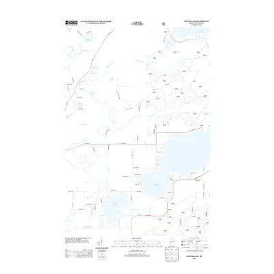
2013 Map of Pioneer Lake
USGS Topo · Published 2013About this map
Nicolet National Frst defines the wooded landscape of this Wisconsin interior, where the Wisconsin River begins its long journey southward. The area is defined by a dense network of glacial water bodies, from the prominent Pioneer Lake and N Twin Lake to smaller basins like Wolf Lake and Kildare Lake. The presence of Cemetery Rd and numerous forest access routes like Fire Lane Rd and Muskrat Creek Rd indicates a managed wilderness where local history is etched into the road names themselves. To the north, the waters of Lac Vieux Desert 21 and the oddly named Pinkeye Lake sit among protected lands. This 2013 survey provides a clear look at the modern interface between remote timberlands and the residential lanes that have developed around the regional chain of lakes.
Find a feature on this map
61 named features on this map. Tap any name to fly to it.
Don’t see what you’re looking for? This feature index may not catch every label — zoom into the map to look around manually.
Map Details
Editions of this 2013 Pioneer Lake Map
This is the sole edition of this map. No revisions or reprints were ever made.
Other maps of this area

1928 · Three Lakes
USGS Topo · 1:48,000

1930 · Robbins
USGS Topo · 1:48,000

1938 · Phelps
USGS Topo · 1:48,000

1938 · Three Lakes
USGS Topo · 1:48,000

1938 · Robbins
USGS Topo · 1:48,000

1945 · Three Lakes
USGS Topo · 1:48,000

1945 · Robbins
USGS Topo · 1:48,000

1946 · Star Lake
USGS Topo · 1:48,000

1950 · Phelps
USGS Topo · 1:48,000

1950 · Star Lake
USGS Topo · 1:48,000