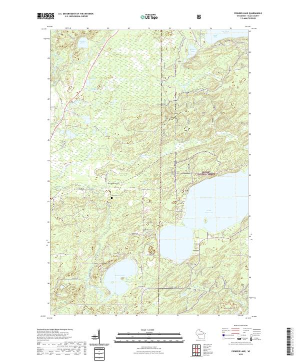
2022 Map of Pioneer Lake
USGS Topo · Published 2022About this map
Wisconsin River headwaters and a dense network of glacial lakes define this portion of Vilas County. The landscape is characterized by its transition into the Nicolet National Forest, where the terrain is heavily wooded and drained by Muskrat Cr and Haymeadow Cr. For genealogists and local historians, the Hildegard Cem stands as a notable landmark among a grid of rural roads like Cemetery Rd and Church Rd. Large water bodies such as Pioneer Lake and North Twin Lake dominate the southern half of the map, while the northern edge touches the significant Lac Vieux Desert at Outlet Bay. The presence of the Vilas Co Snowmobile Trl crossing through various sections reflects the modern recreational utility of these northern woods, which remain sparsely settled with few named structures outside of local residences and seasonal camps.
Find a feature on this map
47 named features on this map. Tap any name to fly to it.
Don’t see what you’re looking for? This feature index may not catch every label — zoom into the map to look around manually.
Map Details
Editions of this 2022 Pioneer Lake Map
This is the sole edition of this map. No revisions or reprints were ever made.
Other maps of this area

1928 · Three Lakes
USGS Topo · 1:48,000

1930 · Robbins
USGS Topo · 1:48,000

1938 · Phelps
USGS Topo · 1:48,000

1938 · Three Lakes
USGS Topo · 1:48,000

1938 · Robbins
USGS Topo · 1:48,000

1945 · Three Lakes
USGS Topo · 1:48,000

1945 · Robbins
USGS Topo · 1:48,000

1946 · Star Lake
USGS Topo · 1:48,000

1950 · Phelps
USGS Topo · 1:48,000

1950 · Star Lake
USGS Topo · 1:48,000