Loading...
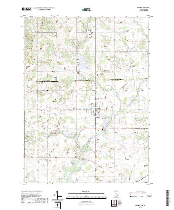
Loading map...2023 Map of Pioneer
USGS Topo · Published 2023About this map
The Saint Joseph River and its major tributaries, the East Branch Saint Joseph River and West Branch Saint Joseph River, define the landscape of this northwestern Ohio border region. Situated just below the Michigan-Ohio state line and the Hillsdale-Williams county line, the area centers on the village of Pioneer, where local landmarks like Floral Grove Cem and T W Pkwy are located.
Find a feature on this map
49 named features on this map. Tap any name to fly to it.
Don’t see what you’re looking for? This feature index may not catch every label — zoom into the map to look around manually.
Map Details
Date Portrayed2023
Date Published2023
PublisherU.S. Geological Survey
Map TypeTopographic
Scale1:24000
Physical Dimensions24 x 29 inches
Editions of this 2023 Pioneer Map
This is the sole edition of this map. No revisions or reprints were ever made.
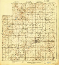
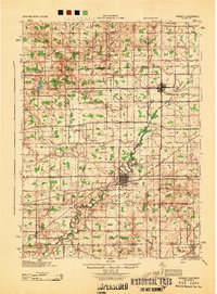
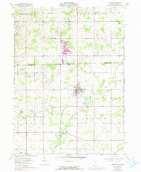
Historical Maps of Madison Township Through Time
4 maps found
Featured Locations
- Bridgewater Township, OH
- Holiday City, OH
- Woodbridge Township, MI
- Grimms Subdivision, Bridgewater Township
- Pioneer, Madison Township
Source Details
SourceU.S. Geological Survey
CopyrightPublic Domain