Loading...
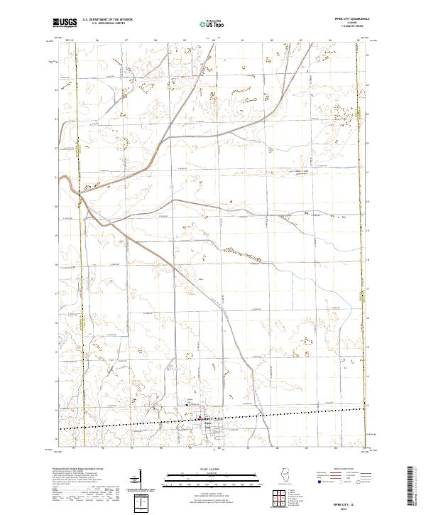
Loading map...1986 Map of Piper City
USGS Topo · Published 1986About this map
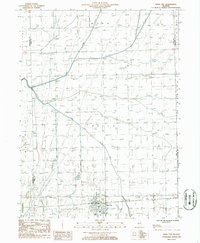
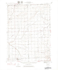
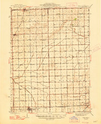
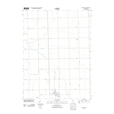
Piper City serves as the central hub of this 1986 survey, situated at the junction of the Chatsworth rail line and local transit routes. The landscape is defined by the agricultural layout of Brenton, Pella, and Mona townships, where the drainage of the North Fork Vermillion River and Kelly Creek has been modified by extensive man-made features. Numerous Spoil Banks line the waterways, indicating a history of dredging and channelization to support the surrounding farmland.
Find a feature on this map
20 named features on this map. Tap any name to fly to it.
Don’t see what you’re looking for? This feature index may not catch every label — zoom into the map to look around manually.
Map Details
Date Portrayed1986
Date Published1986
PublisherU.S. Geological Survey
Map TypeTopographic
Scale1:24,000
Physical Dimensions22 x 26.7 inches
Editions of this 1986 Piper City Map
This is the sole edition of this map. No revisions or reprints were ever made.
Historical Maps of Piper City Through Time
8 maps found
Featured Locations
Source Details
SourceU.S. Geological Survey
CopyrightPublic Domain