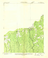
1935 Map of Pistol Gap
USGS Topo · Published 1935About this map
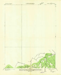
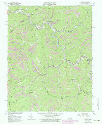
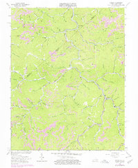
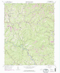
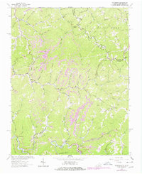
Sandy Ridge anchors the southern portion of this mid-1930s advance sheet, marking the convergence of the Buchanan, Russell, and Tazewell county lines. The landscape is defined by its strategic mountain passes, including Pistol Gap, Linn Spring Gap, and Shorts Gap, which served as critical transit points through the Appalachian high country. While much of the quadrangle remains undeveloped in this preliminary survey, the southern edge reveals a network of trails and primitive roads threading through drainages like Mill Creek and McGlothlin Hollow. The mapping of Linn Spring and the small settlement at Shorts provides valuable touchpoints for genealogists tracing family roots in this corner of the Commonwealth before modern highway development. The survey, a collaboration between the Tennessee Valley Authority and the U.S. Geological Survey, emphasizes the natural hydrology of the Little Fork and Coal Creek systems during the early years of regional utility planning.
Find a feature on this map
18 named features on this map. Tap any name to fly to it.
Don’t see what you’re looking for? This feature index may not catch every label — zoom into the map to look around manually.
Map Details
Editions of this 1935 Pistol Gap Map
This is the sole edition of this map. No revisions or reprints were ever made.
Historical Maps of Marvin Through Time
22 maps found

1914 Bucu
Buchanan County, VA

1914 Hurley
Buchanan County, VA
1915 Hurley
Buchanan County, VA

1916 Bucu
Buchanan County, VA
1917 Hurley
Buchanan County, VA
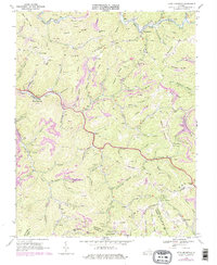
1935 Big A Mountain
Buchanan County, VA
1935 Jewell
Buchanan County, VA
1935 Pistol Gap
Buchanan County, VA
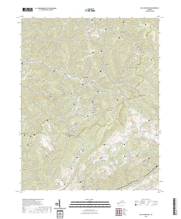
1954 Harman
Buchanan County, VA
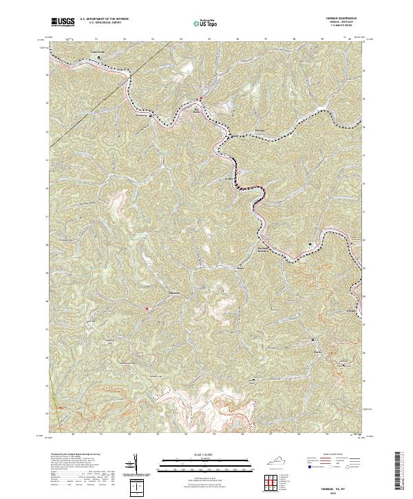
1954 Hurley
Buchanan County, VA
1958 Big A Mountain
Buchanan County, VA
1963 Harman
Buchanan County, VA
1963 Hurley
Buchanan County, VA
1963 Prater
Buchanan County, VA
1964 Patterson
Buchanan County, VA
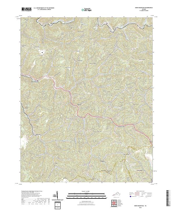
1968 Keen Mountain
Buchanan County, VA
2022 Big A Mountain
Buchanan County, VA
2022 Harman
Buchanan County, VA
2022 Hurley
Buchanan County, VA
2022 Keen Mountain
Buchanan County, VA
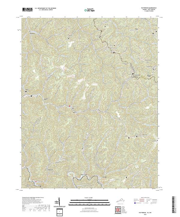
2022 Patterson
Buchanan County, VA
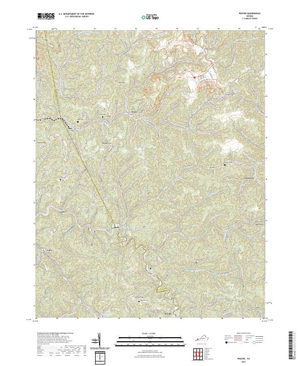
2022 Prater
Buchanan County, VA